| # | key | img1.jpg | txt |
|---|
1
|
000000_594868
|
|
<|img1|>
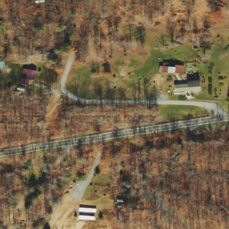
Running diagonally from the right-center edge to the left-bottom edge, State Highway 49 bisects the image. This straight, west-to-east primary highway likely serves as a major connector between towns in Oneida County, New York. Spanning nearly half the image's width, it probably supports significant vehicular traffic.
|
2
|
000001_7591386
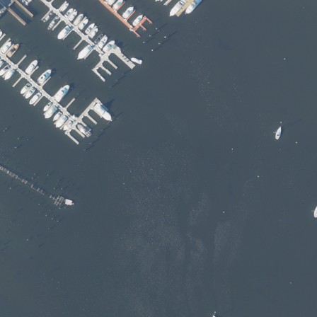
|
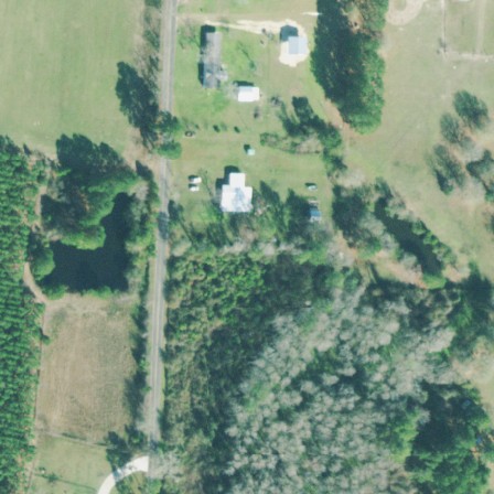
|
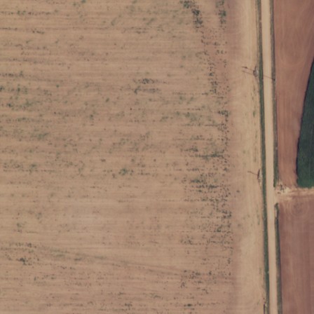
<|img1|>
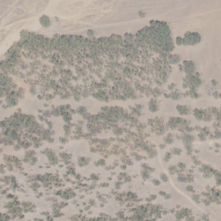
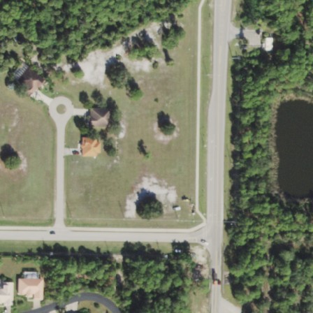
A narrow, meandering stream flows from the upper-left corner diagonally across the northeast of the image, covering about a third of its height. This intermittent waterway, approximately 93 meters long, likely disappears during dry seasons and is surrounded by lush, green vegetation.
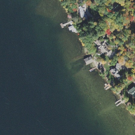
|
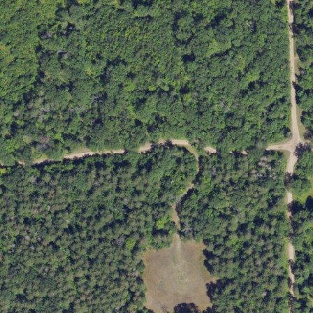
3
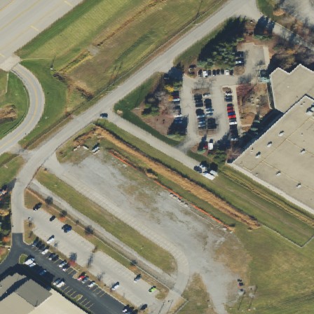
|
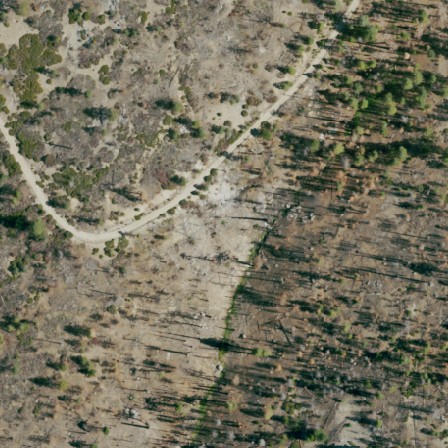
000002_947794
|
|
<|img1|>
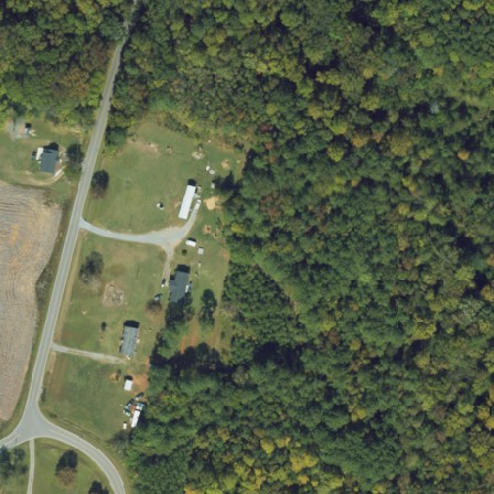
A gently curving stream flows from the right-center towards the right-bottom of the image, stretching approximately 169 meters northward. Part of the National Hydrography Dataset, this stream is likely a widthsuggests it is classed as a stream rather than a river.
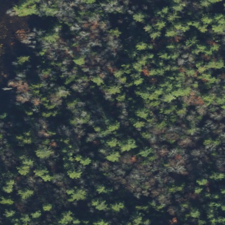
|
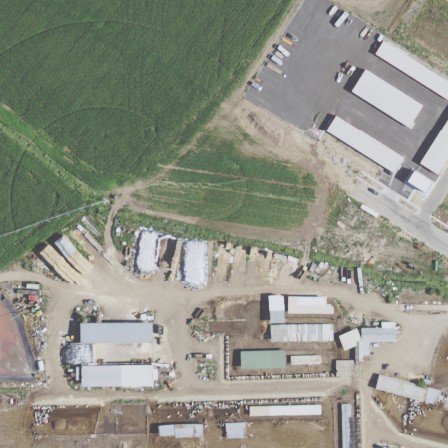
4
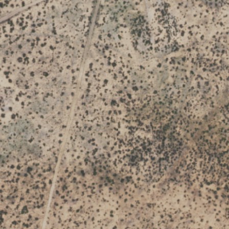
|
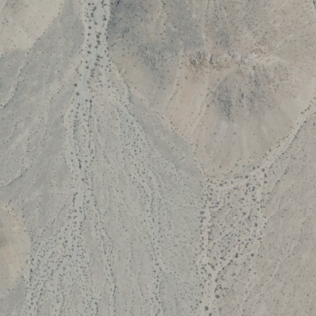
000003_14410889
|
|
<|img1|>
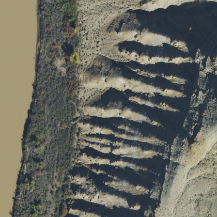
On the left-center of the scene, a slender rectangular expanse represents the Green River, extending upward from the bottom edge, comprising less than one-tenth of the view. Its course likely continues beyond the frame, potentially suggesting a winding path or presence of nearby bridges.
|
5
|
000004_7460500
|
|
<|img1|>
A winding stream that’s known to be intermittent flows south to north across the left side of the image. Its curved path echoes the landscape, possibly passing through wooded areas or open fields, with a measured length of 274 meters. The stream may dry up during certain seasons, contributing to the local ecosystem's unique dynamics.
|
6
|
000005_10246159
|
|
<|img1|>
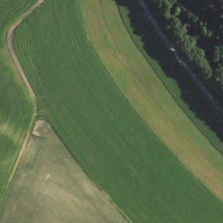
At the top-right corner of the scene, a rectangular wooded area occupies about one-eighth of the view. Its vertical orientation along the upper boundary suggests a tall, dense forest that extends beyond the frame, perhaps into a larger forestry reserve. Streams or paths may cut through the woodland, adding to its natural beauty.
|
7
|
000006_4353600
|
|
<|img1|>
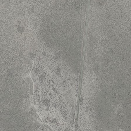
A straight, unpaved farm or forest track stretches from near the bottom-center, diagonally up to the right-top edge, spanning most of the image's height. This southern Lincoln County, Nevada road, around 271 meters long, is likely used for local access among rural landscapes.
|
8
|
000007_9993875
|
|
<|img1|>
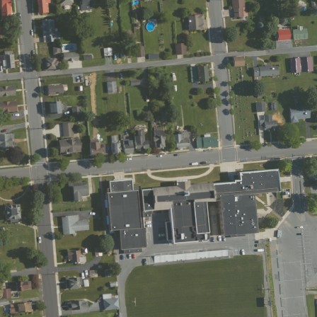
Positioned at the center of the scene, an irregularly shaped school building occupies a modest area, noticeable but not dominant. Its distinctive outline suggests a single structure, possibly featuring classrooms and administrative offices, indicating educational use in an urban or suburban setting.
|
9
|
000008_11996850
|
|
<|img1|>
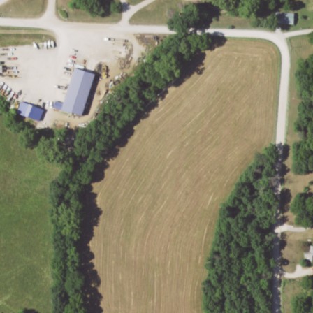
A gently curved residential road named Bybee Road winds northwest to southeast across the scene. Starting near the bottom-right edge and extending to the top-left edge, it spans nearly the entire view. Likely bordering residential properties, it connects neighborhoods in Moniteau County, Missouri.
|
10
|
000009_9816843
|
|
<|img1|>
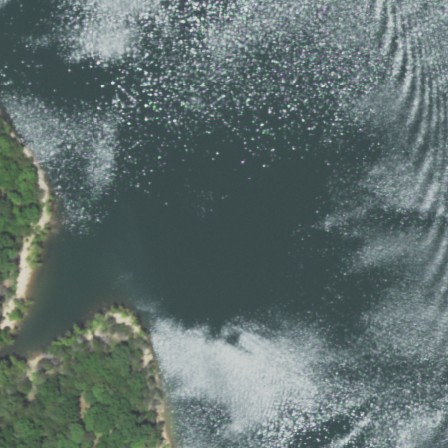
Oriented at the heart of the scene, an expansive, irregular milestone river stretches from one side to the other, consuming over eight-tenths of the view. Its meandering path reveals width and depth, likely flowed by water, potentially with portions extending beyond the frame.
|
11
|
000010_3214688
|
|
<|img1|>
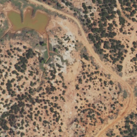
A curved residential road winds its way from the bottom-right to the top-left of the image, spanning nearly the entire scene. The gently curving road likely passes through a residential neighborhood in Childress County, Texas, probably bordered by houses and their yards.
|
12
|
000011_15174883
|
|
<|img1|>
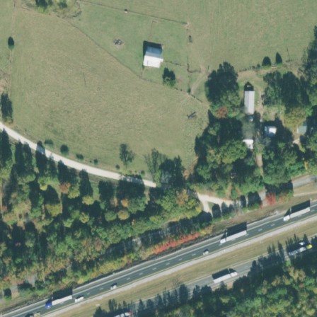
At the lower-left corner, a rectangular forest plot covers approximately 6% of the scene. Its boundaries are neatly defined, with parts presumably extending beyond the visible area, hinting at a well-maintained, likely pine-heavy plantation.
|
13
|
000012_2681430
|
|
<|img1|>
In the top-left corner of the scene, Staten Island Marina unfolds as an irregularly shaped area, covering about one-seventeenth of the view. This marina, offering facilities for mooring leisure yachts and motor boats, likely features docking spaces and amenities for small vessels, with parts extending beyond the frame, suggesting a harbor entrance or nearby navigational aids.
|
14
|
000013_13456234
|
|
<|img1|>
Running from the bottom-left edge to the top-center of the image, Stanfield Road, a residential street, stretches nearly the full length of the view. Part of the road continues beyond the visible area, extending its path in Pierce County, Georgia.
|
15
|
000014_2615937
|
|
<|img1|>
Stretching from the bottom-right edge to the top-right edge, County Road 19 runs straight south-to-north, spanning the full height of the image. This residential thoroughfare, 269 meters in length, serves as the main artery through a likely rural community in Parmer County, Texas. Its surface appears primarily covered in compacted gravel.
|
16
|
000015_13982323
|
|
<|img1|>
Nestled at the right-bottom corner of the scene, the rectangular Yucca Pens Preserve nature reserve occupies a small fraction, less than 5% of the view. While compact, this protected area, likely featuring native vegetation and perhaps home to diverse wildlife, extends somewhat beyond the frame, hinting at a larger, possibly contiguous reserve.
|
17
|
000016_14758164
|
|
<|img1|>
Wallace Point Road, a curved residential road, stretches from the right-center edge to the top-center edge, running in a northwest-to-southeast direction. Approximately 139 meters long, it winds through the residential area of Carroll County, New Hampshire, and is private, indicating restricted public access.
|
18
|
000017_2713495
|
|
<|img1|>
Hunt Creek Motorcycle Trail gently curves from the right-top edge to the left-top edge of the image, spanning its width. Intended for motorcycle use, it's likely a winding, unpaved path through forested or rough terrain.
|
19
|
000018_312843
|
|
<|img1|>
At the heart of the scene, an irregularly shaped zone occupies more than three-fifths of the view, marked as Buffalo-Niagara International Airport, an expansive public aerodrome within Erie County, NY. With portions likely extending beyond the frame, this activity hub hosts an IATA-designated BUF, ICAO-designated KBUF facility, and stands at an elevation of 216 meters, suggesting a bustling, interconnected transportation hub managed by the Niagara Frontier Transportation Authority.
|
20
|
000019_9155022
|
|
<|img1|>
A serpentine stream, classified as intermittent due to its variable water flow, meanders across the scene from the bottom-center to the top-right corner. Extending 289 meters, it winds northwards, showcasing a curved path through the landscape.
|
21
|
000020_6804798
|
|
<|img1|>
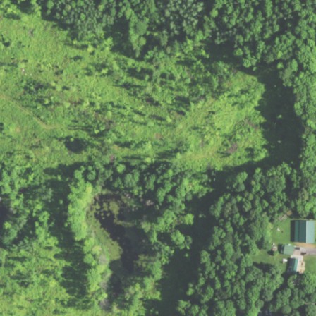
At the right-center of the scene, a rectangular zone occupies approximately a quarter of the view. This area is predominantly residential, featuring a mix of houses and apartment buildings, likely offering a quiet suburban environment.
|
22
|
000021_2083658
|
|
<|img1|>
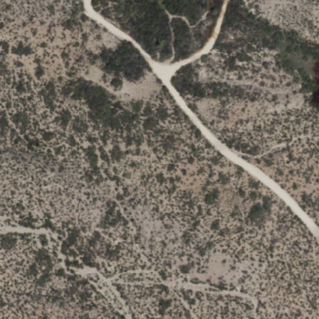
The Chihuahuan Desert Nature Trail winds from the left-top edge to the top-center of the scene, spanning about 245 meters. This trail, shaped in a twisted path with segments winding up and down the slope, is primarily designed for pedestrian use. Despite its rugged terrain, it offers accessible hiking opportunities, bathed in the sun and sand characteristic of desert landscapes. The trail, legally designated for public foot access, cautions against bicycles and equestrian rides.
|
23
|
000022_8950230
|
|
<|img1|>
At the top-center of the frame, an irregularly shaped residential neighborhood dominates nearly half the view. Place names and street layouts are absent, but architectural landmarks and various house designs hint at a suburban landscape likely within a flexible open setting.
|
24
|
000023_11256732
|
|
<|img1|>
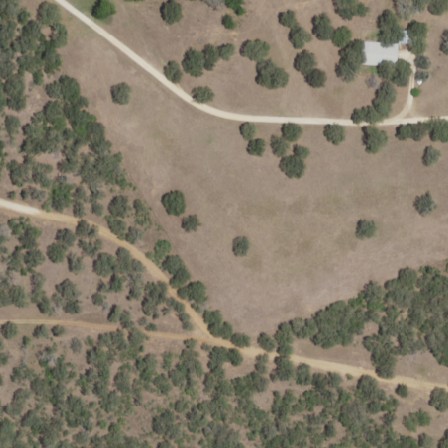
A gently curved driveway stretches across the top of the image, running west-to-east from the right-top edge to the left-top edge. Measuring approximately 227 meters, it likely leads to nearby buildings or businesses in Gonzales County, Texas.
|
25
|
000024_522352
|
|
<|img1|>
At the upper-left corner of the scene, a small, irregularly shaped river course winds through the landscape, covering less than one-tenth of the view. The river likely follows a reflecting course, with portions extending beyond the frame, suggesting a broader waterway system in the surrounding area.
|
26
|
000025_15981157
|
|
<|img1|>
At the bottom-center of the scene, an expansive, irregular farmyard stretches, occupying nearly two-fifths of the view. Its sprawling area, extending beyond the frame, hints at numerous farm structures like barns, sheds, and possibly a farmhouse.
|
27
|
000026_1532293
|
|
<|img1|>
A curved track, likely a minor farm or forest track, runs from the upper-right corner to the center-right of the image, spanning about one-third of its width. The track is situated in Ward County, Texas.
|
28
|
000027_13374759
|
|
<|img1|>
At the center of the scene, a vast rectangular expanse dominates two-thirds of the view, identified as Devil's Playground, a natural desert with a barren, sandy terrain, likely extending beyond the visible area, creating an austere and desolate landscape.
|
29
|
000028_15207083
|
|
<|img1|>
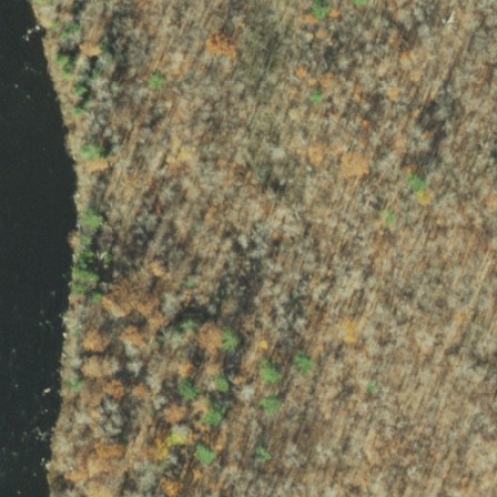
A gentle curve of the Hudson River sweeps across the left side of the scene, flowing northward for approximately 137 meters. The river's sinuous path is visible within the image, likely bounded by banks and adjacent land.
|
30
|
000029_15228901
|
|
<|img1|>
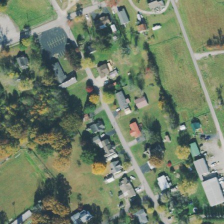
At the left-center of the scene, a small, irregular wooded area covers approximately 0.078 of the total view. This densely forested section, classified as a wood, extends along the edge, hinting at a larger wooded landscape that extends beyond the frame.
|
31
|
000030_12102827
|
|
<|img1|>
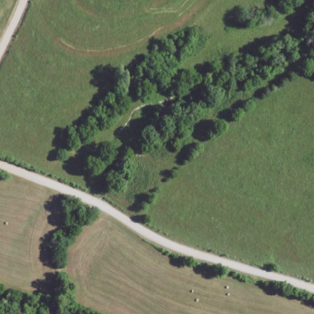
A gently curving residential street named Bass Road arcs from the left-center to the right-bottom edge of the scene, spanning over 290 meters. It snakes through Laclede County, Missouri, likely bordering homes and driveways, characteristic of a residential setting.
|
32
|
000031_9607259
|
|
<|img1|>
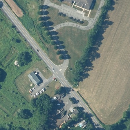
Stretching across the right-center of the scene, a neatly rectangular area of farmland occupies approximately one-fourth. orientationally bounded by cultivation extending beyond the frame, suggesting expansive agricultural landscapes possibly supporting annual crops.
|