| # | key | img1.png | img2.png | txt |
|---|
1
|
014d09e6-285c-4cd1-bb85-01fce259a3b6
|
|
|
Map: <img1>
Satellite: <img2>
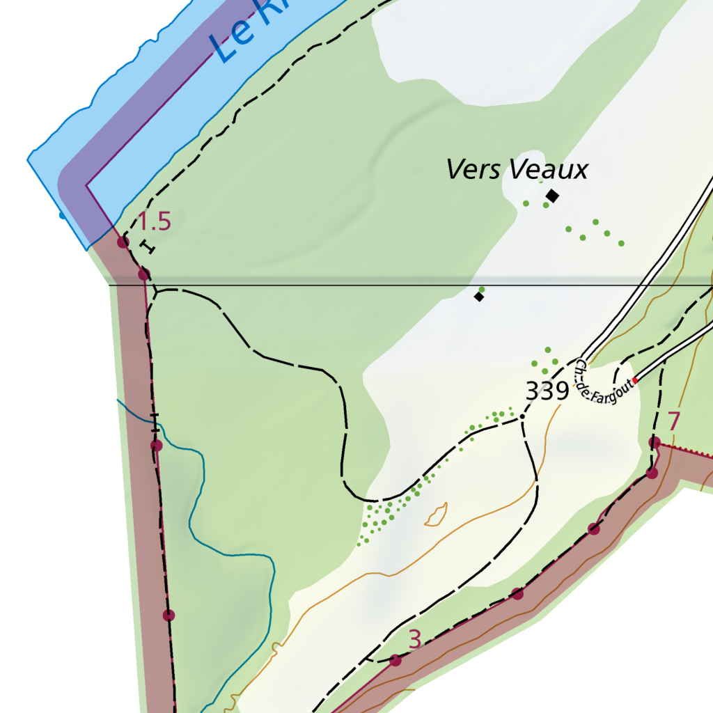
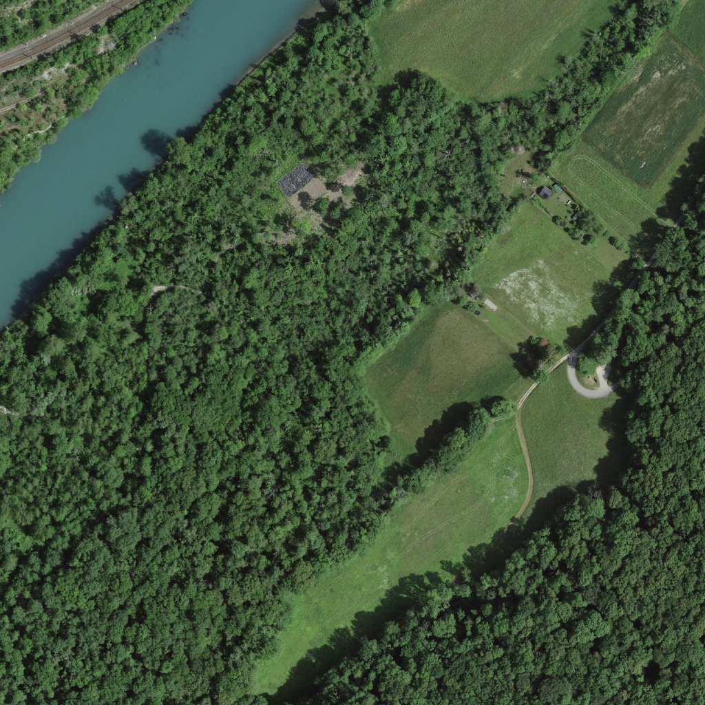
This riparian landscape along Le Rhône, labeled "Vers Veaux" on the map, presents a mosaic of dense deciduous forest and managed grassland. The upper left quadrant shows the river bordered by a railway corridor and steep, contiguous canopy cover with uniform texture indicating mature woodland. A dashed boundary line on the map separates this forested zone from lighter-shaded agricultural land to the southeast, where the satellite image reveals irregular pasture parcels, some with visible mowing patterns or light soil exposure. A winding unpaved track, consistent with the map's path symbols, connects a small cluster of buildings—possibly the settlement marked by black squares near "Vers Veaux"—to a paved road (route 339) running along the right edge. The central forest clearing contains a rectangular disturbed area with what appears to be stockpiled material or debris. Contour line spacing on the map suggests moderate relief, with steeper slopes adjacent to the river transitioning to gentler terrain in the lower right, where field boundaries appear as faint linear traces in the grassland.
|
2
|
af59bf06-9467-4789-8c69-d5162f4bdc02
|
|
|
Map: <img1>
Satellite: <img2>
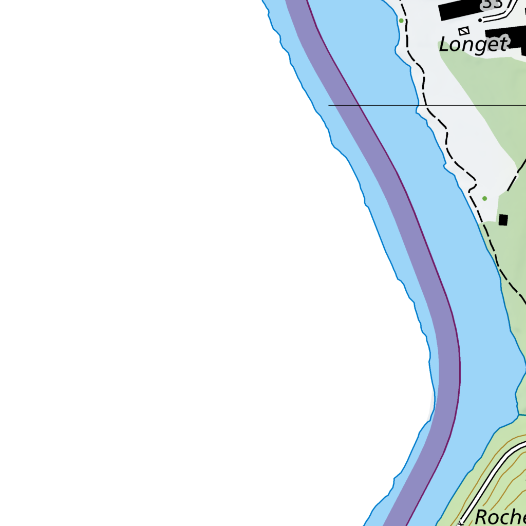
The scene depicts a riverine landscape where the Rhône River, marked by a purple boundary line on the map, curves through the right half of the frame with a gravelly shoreline visible in the aerial view. Toward the upper right, the built-up area of Longet appears as clustered structures with reddish-brown roofs adjacent to the riverbank. The lower left quadrant contains a distinct circular earthwork formation with concentric rings, surrounded by mixed deciduous forest canopy showing dense green texture in the satellite image. A small reservoir or pond with turquoise water occupies the bottom center, bordered by grassy clearings and scattered trees. The map's green shading corresponds to these vegetated zones, while contour lines toward the lower right suggest gentle terrain rising toward Roche. A network of unpaved tracks connects these features across the floodplain.
|
3
|
5a395040-a4a7-42e8-81ee-9eba6f52e63f
|
|
|
Map: <img1>
Satellite: <img2>
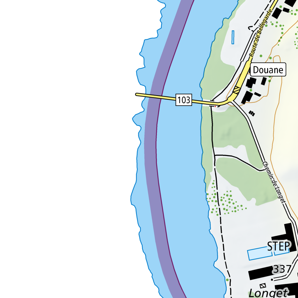
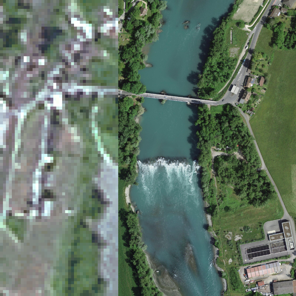
This scene depicts a riverine corridor with a transboundary crossing, where the Route de Bellegarde (labeled on the map) parallels the watercourse along the right edge before intersecting with bridge 103, which spans the turquoise river visible in the aerial photograph. The upper right quadrant contains the built-up area of Douane, with dark-roofed structures clustered near the road junction, consistent with the map's dense black building symbols. Below this, the Chemin de Longel follows a winding course through green-shaded zones on the map that correspond to the dense deciduous canopy lining the riverbank in the satellite image. Toward the lower right, the facility labeled STEP appears as a large rectangular complex with multiple dark-roofed industrial buildings and adjacent open storage areas, bordered by mown grass fields showing subtle mowing patterns. The river itself displays a distinct hydraulic feature in the lower center: a curved weir or barrage creating a standing wave, with lighter turbulent water downstream transitioning to darker, smoother flow upstream. The left bank remains heavily vegetated with no mapped structures, matching the continuous forest cover visible in the aerial view.
|
4
|
99cfb825-86ac-4a0f-9e63-2c2a9e682796
|
|
|
Map: <img1>
Satellite: <img2>
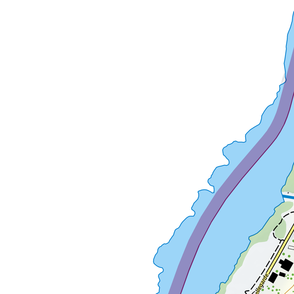
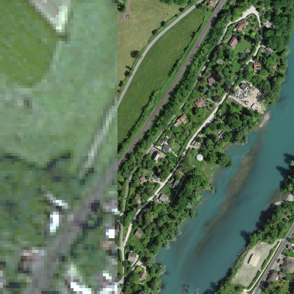
The scene depicts a linear settlement pattern along a river corridor, with the water body occupying the right half of the frame and displaying a turquoise surface with visible shallow nearshore areas. A railway line runs parallel to the riverbank through the central portion, flanked on its landward side by a winding road labeled "Bellegarde" that serves scattered residential structures with reddish-brown roofs and surrounding dense tree canopy. The upper left quadrant contains open grassland with mowed patterns, while the lower right shows a small beach or gravel area adjacent to the water. The map indicates minimal topographic variation with widely spaced contours, consistent with the gentle terrain visible in the aerial perspective.
|
5
|
ac791dd8-520a-432a-8978-06bc4e86e6cf
|
|
|
Map: <img1>
Satellite: <img2>
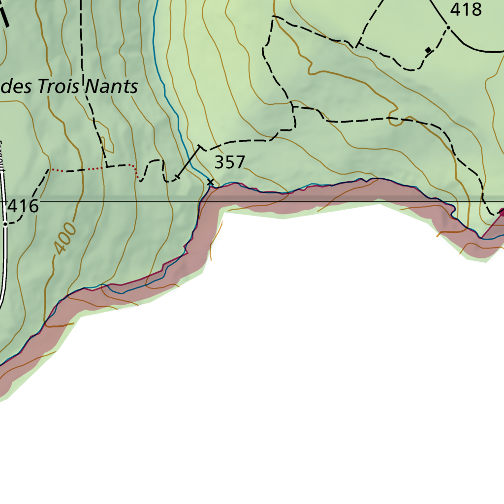
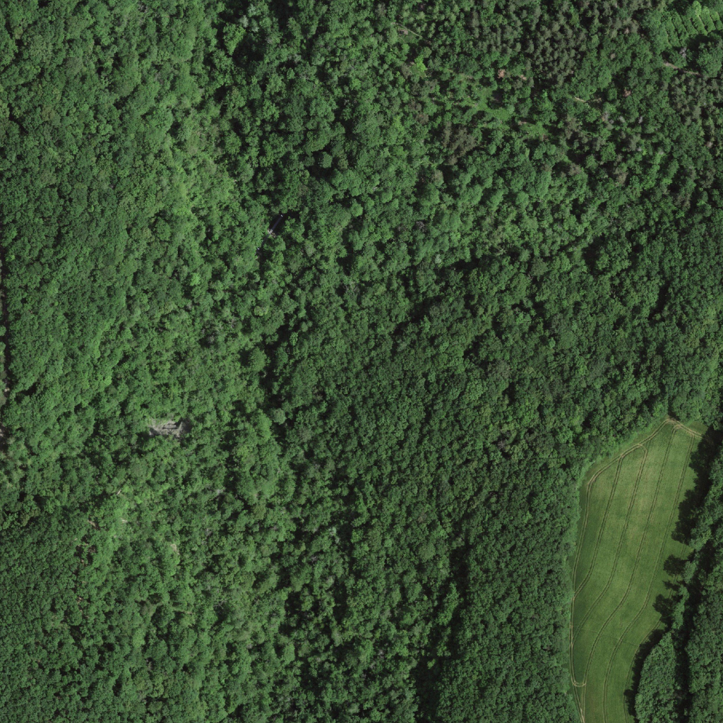
The scene captures a steep, forested valley side descending toward a watercourse, with dense closed-canopy vegetation dominating the upper and left portions of the frame, transitioning into a narrow, linear clearing in the lower right quadrant. The map identifies this as the "des Trois Nants" area, with contour lines spaced closely across the upper left indicating slopes rising above 400 meters toward spot height 416, while the elevation drops sharply to 357 meters adjacent to the watercourse margin marked by the pink-shaded zone. The satellite image reveals uniformly textured evergreen canopy with occasional darker shadowing suggesting topographic relief, while the lower right clearing displays mowed grass with curved maintenance paths, consistent with a managed meadow or recreational verge bordering the water. A thin blue line on the map, possibly a stream or drainage, parallels the contour inflection near the 357-meter mark, though no open water surface is distinctly visible in the satellite view. The dashed boundary lines traversing the upper portion of the map suggest administrative or property divisions crossing the wooded terrain. The clearing's geometric regularity and maintained strips contrast with the irregular, continuous forest cover that occupies approximately eighty percent of the visible area.
|
6
|
6513a728-3ba0-4ae5-be14-a771b39ca1dc
|
<3151893 bytes>
|
<3151893 bytes>
|
Map: <img1>
Satellite: <img2>
The terrain comprises a densely forested valley with moderate relief, where the upper portion of the frame captures a small clearing adjacent to the Castrum romain de Chancy, situated on higher ground with widely spaced contour lines indicating gentler slopes. The watercourse Le Longet runs vertically through the left-center of the scene, its course marked by closely spaced brown contours denoting a steeper, incised channel that corresponds with a visible linear break in the canopy texture on the satellite image. To the right, the Bois des Crevasses occupies the lower right quadrant, its uniform dark green canopy consistent with mature woodland, while the Chemin des Crevasses follows a winding path along the 400-meter contour, appearing as a narrow, lighter-toned linear feature threading through the forest. The left edge of the frame near Rochette shows more irregular topography with tighter contour spacing, reflected in the variable shadow patterns and textured canopy of the aerial view, and a small light patch in the upper center suggests a bare or thinly vegetated surface possibly associated with the archaeological site.
|
7
|
603b07da-1410-4f9b-820f-92b7062ba1b2
|
<3151893 bytes>
|
<3151893 bytes>
|
Map: <img1>
Satellite: <img2>
The scene depicts a rural valley landscape centered on Montagny, with the water body Le Lôn visible along the left edge. In the upper left quadrant, the Route de Vers-Vaux runs adjacent to agricultural buildings with reddish-brown roofs, while the Route de Valleiry curves through the right half, passing elevation point 359. The central area contains a large rectangular field with distinct linear crop patterns, bordered by dense forest canopy showing uniform dark green texture. A smaller cleared area with lighter tone appears in the lower right, enclosed by winding forest edges. Contour lines indicate gentle slopes rising toward the upper right, with steeper gradients near the water body. The Castrum romain de Chancy lies in the lower portion, marked by clustered symbols near elevation 379. A narrow road threads through the bottom forest, connecting to a small circular clearing.
|
8
|
c7ae1772-3dd6-4299-a848-062c7e335c42
|
<3151893 bytes>
|
<3151893 bytes>
|
Map: <img1>
Satellite: <img2>
This rural valley landscape features the watercourse La-Laire, which meanders through the center as a densely wooded corridor with continuous canopy cover visible from above, flanked by open grassland areas consistent with pasture or meadow use. The road labeled Route de Valleiry runs along the right edge, paralleling the watercourse with a paved surface and occasional structures including a building with a reddish roof near a junction in the upper right quadrant. In the upper left, the locality named La Tuilière sits at elevation 356, where scattered buildings with gray and dark roofs cluster near the tree line, while the lower left quadrant contains larger rectangular structures possibly associated with agricultural or industrial use. Contour lines suggest gentle slopes rising away from the valley floor, with the light green shading on the map corresponding to the mixed open and wooded terrain visible in the satellite view, and a dashed boundary line crosses the lower center, separating land management zones.
|
9
|
ae46394c-c68a-4490-9b8e-8b76da4acde6
|
<3151893 bytes>
|
<3151893 bytes>
|
Map: <img1>
Satellite: <img2>
This aerial view captures the settlement of Chancy, where a dense cluster of buildings with reddish-brown pitched roofs occupies the upper right quadrant, bordered by the Route de Bellegarde and Chemin de la Ruette. Toward the center-left, the Parc du Menhir appears as a green zone with scattered tree symbols on the map, corresponding to the mixed woodland and open grass visible in the satellite image. A major watercourse, marked by the 340-meter contour, runs along the left edge, its turquoise surface flanked by a narrow band of riparian forest that follows the meandering shoreline. The Chemin des Carrés and Route de Vallery form a grid-like street pattern through the built-up area, while expansive agricultural fields with uniform green texture dominate the lower right, consistent with the map's white zoning and sparse tree symbols. A small circular water feature, possibly a pond, appears as a light blue dot near the center of the residential zone. The 358-meter spot height sits amid a transitional area where housing gives way to pasture, with road curvature suggesting gentle terrain rather than steep slopes.
|
10
|
1eaec3bf-1a58-4744-936a-898138a30911
|
<3151893 bytes>
|
<3151893 bytes>
|
Map: <img1>
Satellite: <img2>
This scene captures a river valley settlement where the watercourse, marked by a purple boundary line on the map, flows diagonally through the frame with forested banks casting dark shadows on its turquoise surface. Along the lower right quadrant, the built-up area of Les Clés appears as a dense cluster of reddish-brown rooftops surrounding the intersection of Route de Bellegarde and Chemin de la Grande-Cour, with the elevation spot height of 359 meters sitting amid this zone. Parallel to the river's left bank, a double-track railway line runs straight along the edge of cultivated fields showing regular crop patterns, while the gentler green shading on the map's right side corresponds to open pastureland extending toward the upper right. The 367-meter elevation point occupies a small wooded rise near this agricultural zone, and scattered buildings with gray and terracotta roofs line the riverbank road labeled Chemin de la Grande-Cour, partially obscured by tree canopy. A small marina or boat storage area with aligned white vessels is visible where the settlement meets the water's edge.
|
11
|
0149a941-077a-4431-9289-0d9ddcd512bb
|
<3151893 bytes>
|
<3151893 bytes>
|
Map: <img1>
Satellite: <img2>
The scene depicts a linear settlement pattern along the Le-Rhône watercourse, visible as a turquoise-blue band occupying the lower right quadrant, bordered by dense deciduous forest showing dark green canopy texture. A double-track railway line runs parallel to the river's edge, separating the wooded riparian zone from an elongated clearing containing scattered residential structures with reddish-brown roofs and associated outbuildings. Toward the upper left, expansive agricultural parcels display regular crop-row patterns and mown strips consistent with pasture or hay production, interspersed with irregular forest patches. A paved road curves through the center, connecting the dispersed dwellings and terminating at a grade crossing near the upper edge, where disturbed ground and bare soil patches suggest recent construction or material extraction activity.
|
12
|
0f1f92a5-f5bb-4955-ba40-2cc5c57f4365
|
<3151893 bytes>
|
<3151893 bytes>
|
Map: <img1>
Satellite: <img2>
This scene captures a forested upland terrain bisected by the Route de Sergy in the upper left quadrant, where the asphalt road curves through a clearing with visible vehicle tracks on adjacent grassland. The central and lower portions are dominated by dense deciduous canopy consistent with the Bois des Bouchets, exhibiting continuous dark green texture with occasional lighter gaps indicating understory variation or small clearings. A light-toned linear feature, possibly a gravel track or firebreak, traverses diagonally from the upper left toward the center-right, intersecting with secondary paths near the Place de tir Les Raclerets / Chancy marked in the upper right. Contour lines indicate moderate relief, with elevations rising from approximately 382 meters in the central depression toward 410 meters in the lower frame, the closely spaced contours along the right edge suggesting steeper slopes there. The upper right quadrant contains disturbed ground with bare soil patches and geometric earthworks adjacent to the shooting range facility, contrasting with the surrounding mature woodland. Field boundaries appear as faint linear breaks in the forest cover, particularly along the left margin where managed grassland transitions into unmanaged timber. The Chemin des Bouchets follows the lower right edge as a narrow track threading through irregular terrain.
|
13
|
b0181b53-b312-4fb4-ab12-3c7c275e9f6d
|
<3151893 bytes>
|
<3151893 bytes>
|
Map: <img1>
Satellite: <img2>
This agricultural valley scene captures the transition between the localities of Bottières in the upper left and Coulouvrière in the upper right, with the road labeled 349 running along the lower left edge. The upper portion of the frame shows relatively flat terrain with sparse vegetation symbols on the map, corresponding to open fields in the satellite view—some with bare soil appearing as light tan polygons, others with dense green crop cover showing distinct linear cultivation patterns. Toward the lower half, contour lines cluster more densely alongside the winding blue watercourse marked on the map, indicating a steeper riparian zone where the satellite image reveals a continuous band of closed-canopy forest with dark green texture and exposed gravel bars visible as light-toned sinuous deposits within the channel. A thin orange road on the map aligns with a narrow paved surface visible in the lower left, curving toward a small structure near the wooded margin.
|
14
|
52bd8321-3a74-49ac-a664-7ba5421d2bfa
|
<3151893 bytes>
|
<3151893 bytes>
|
Map: <img1>
Satellite: <img2>
This scene depicts a low-elevation rural-urban interface where the residential locality of Les Raderets occupies the upper left quadrant, characterized by dense rectangular building blocks with terracotta-colored roofs arranged along Chemin des Raderets and Chemin des Lys, with an elevation of approximately 361 meters. Adjacent to this built-up zone, large geometric agricultural parcels dominate the right half and lower portion of the frame, displaying distinct surface textures: dark green fields with visible crop row patterns consistent with active cultivation, and lighter tan areas indicating bare soil or recently harvested land. A narrow linear path, possibly corresponding to the orange line in the map, separates these agricultural zones, while Chemin de Champlong runs along the upper edge, marking the boundary between residential and agricultural land use. The contour interval suggests minimal topographic variation across the scene, with a slight downward gradient toward the lower right where the elevation drops to approximately 360 meters.
|
15
|
c888355c-0bee-4f1b-89c2-aa3464aaca67
|
<3151893 bytes>
|
<3151893 bytes>
|
Map: <img1>
Satellite: <img2>
This rural settlement scene captures the locality named Les Bouveries in the left half, where clustered buildings with reddish-brown roofs and rectangular footprints form a compact residential zone interspersed with trees and small garden plots. The Route de Bellegarde, marked in yellow on the map and visible as a paved two-lane road with light-colored surfacing, diagonally traverses the center from upper right to lower left, separating Les Bouveries from the zone labeled Les Courtes in the lower right quadrant, which appears as open agricultural land with uniform green crop cover and faint linear patterns indicating cultivated rows. Toward the upper right, the area designated Champ Joly extends as expansive fields with varying green tones and geometric boundaries, while the upper left corner contains a denser patch of trees consistent with the green-shaded zone near the label Clés. The terrain appears relatively flat throughout, with no contour lines indicating significant elevation change, and scattered blue rectangular symbols in the settlement zone suggest swimming pools visible as light-colored rectangles amid private properties. A smaller road, Chemin de Chamlong, runs along the lower edge, bordering the southern limit of the built area.
|
16
|
33b48407-59cf-4d31-b447-04cdab43b01f
|
<3151893 bytes>
|
<3151893 bytes>
|
Map: <img1>
Satellite: <img2>
This scene captures a riverine agricultural corridor where the Rhône River, visible as a blue watercourse in the upper left quadrant, is bordered by a dense band of riparian forest that appears as dark green canopy in the aerial photograph and as a green-shaded zone marked "Sur le Rhône" on the map. Adjacent to this forested strip, the map shows closely spaced contour lines indicating a narrow floodplain terrace, which corresponds to the pale, sparsely vegetated rectangular fields visible in the center of the satellite image—possibly fallow or recently harvested ground. To the right, the map labels the area "Champ du S..." within a broader white zone with widely spaced contours, matching the satellite view of larger, regularly shaped crop fields in varying green tones that suggest different growth stages or crop types. A straight, light-colored track running diagonally across the center of the aerial image aligns with a dashed boundary line on the map, likely a farm access road or administrative boundary. The lower right portion of the satellite image shows darker, more uniform field patterns, consistent with intensive cultivation on the flatter terrain indicated by the map's sparse contour intervals in that sector. The river's edge displays a narrow gravel bar or shoreline visible in the aerial photograph, corresponding to the wetted channel margin depicted in blue-purple shading on the map.
|
17
|
f89ceec1-a4b1-4c03-892e-3cd10c46e6be
|
<3151893 bytes>
|
<3151893 bytes>
|
Map: <img1>
Satellite: <img2>
The scene depicts a riverine hydroelectric infrastructure complex at Les Plattières, where a dam structure spans across a wide river, creating an upstream reservoir with calmer, turquoise water and a downstream channel with visible turbulent discharge. The dam facility, positioned in the upper right quadrant, features elongated industrial buildings with reddish-brown roofs, concrete spillway structures, and a ship lock visible as a narrow rectangular channel parallel to the main dam. A railway line runs along the left edge, bordered by dense forested areas with continuous canopy cover, while agricultural fields with regular geometric patterns occupy the lower right and upper left portions. The contour lines indicate gentle terrain gradients rising from the river valley toward Champ-du-Moulin in the lower right, with elevation spot height 348 marking higher ground near the facility. A gravel bar and disturbed sediment deposits appear along the left bank downstream, consistent with fluvial deposition processes.
|
18
|
7d8caff8-51be-42ea-adfa-734984d90963
|
<3151893 bytes>
|
<3151893 bytes>
|
Map: <img1>
Satellite: <img2>
The scene depicts a riverine agricultural landscape where a linear water body, shown in blue on the map and appearing as turquoise water in the aerial view, occupies the right edge with a parallel railway line marked in purple running along its bank. Toward the upper center, a cluster of buildings with reddish-brown roofs sits amid geometrically patterned fields consistent with vineyard or orchard cultivation, their parallel rows visible in the satellite imagery and their boundaries delineated by dashed lines on the map. Dense green forest canopy covers the left portion and intervening strips, corresponding to unshaded zones on the cartographic representation, while contour lines in the lower right suggest gentle terrain sloping toward the water. A small cleared area with exposed soil appears in the lower left quadrant, and power lines traverse the scene vertically, their tower visible as a small structure near the upper left field boundary.
|
19
|
2de1a38e-97d3-4bd1-8a18-0597a6515611
|
<3151893 bytes>
|
<3151893 bytes>
|
Map: <img1>
Satellite: <img2>
A winding paved road, labeled Route du Mandement with elevation markers at 443 and 110, bisects a mixed rural landscape in the upper right quadrant, separating dense deciduous forest—consistent with the Bois de Roulave indicated in the lower left—with continuous closed canopy texture from an open grassy clearing of lighter tone. The forested zones display irregular patchy shadows suggesting moderate topographic relief, while the clearing exhibits uniform short vegetation without visible field boundaries or agricultural patterning. A dashed line marking Chemin des Grands-Bois traverses the lower left forested area, and a small symbol near the 443 elevation marker indicates a customs post at Douane, positioned where the road meets a watercourse and administrative boundary in the upper left. The road surface appears light gray with visible edge markings, curving through the terrain with a consistent width of approximately two lanes.
|
20
|
c1c3ec8c-3d3d-4004-97f9-641f4e3e26c1
|
<3151893 bytes>
|
<3151893 bytes>
|
Map: <img1>
Satellite: <img2>
The area presents a mixed agricultural-woodland landscape on gently rolling terrain, with the watercourse Le Roulave running through the lower portion. In the upper left quadrant, dense deciduous canopy with uniform green texture occupies higher ground marked by elevation 449, where closely spaced brown contour lines indicate a steeper slope descending toward the valley. The central and right portions display open fields with regular crop patterns, including a large rectangular parcel with visible cultivation rows and lighter-toned harvested or fallow land along the right edge. A narrow track, possibly corresponding to Chemin des Palatières, borders the upper right field boundary. The lower left shows additional geometric field plots separated by tree lines, with elevation 438 marking lower ground near what appears to be a riparian zone with reddish-brown alluvial deposits adjacent to the watercourse.
|
21
|
f1aa207a-d590-44d8-879d-7b8b3580ac11
|
<3151893 bytes>
|
<3151893 bytes>
|
Map: <img1>
Satellite: <img2>
The scene depicts a rural agricultural landscape bisected by a major transportation corridor. The Route de Gonville, labeled as road 148, runs diagonally from the upper left to lower right, appearing as a multi-lane highway with parallel tree-lined verges and visible vehicle traffic. To the upper right of this road lies La Fin de Frangin, an extensive zone of pale bare soil or recently harvested fields with minimal vegetation texture, bordered to the north by La Fin du Poisaz. Below the highway, the zone labeled Au Clos occupies the lower right quadrant, characterized by geometric parcels of varying green tones indicating active crop cultivation with distinct row patterns and field boundaries. A secondary road intersects the highway near the center, connecting to smaller trackways that delineate the agricultural plots. The contour lines on the map suggest gentle undulating terrain across the entire frame, with no steep slopes indicated. The satellite image reveals fine-scale variations in crop vigor and soil exposure, with some fields showing uniform green canopies while others display patchy or senescent vegetation consistent with different cultivation stages or crop types. A small light-colored structure is visible near the intersection of the secondary road and the field boundaries in the central right portion of the image.
|
22
|
fff0e035-9b39-4eca-9e16-ef9a158e4122
|
<3151893 bytes>
|
<3151893 bytes>
|
Map: <img1>
Satellite: <img2>
The area comprises a rural transportation corridor with a multi-lane highway and connecting ramps traversing gently rolling agricultural terrain. In the lower right quadrant, the labeled locality "La Fin du Poisaz" sits adjacent to the highway interchange, where the map indicates elevation 465 and shows parallel road symbols with pink-shaded verges corresponding to the tree-lined embankments visible in the satellite image. The upper left quadrant contains open pasture with faint track lines and scattered tree clusters, while the lower right shows a pale, recently tilled field with curved cultivation patterns. High-voltage transmission lines cross diagonally from upper right to lower left, their tower shadows falling across grassland that appears consistent with pasture use. A small structure with a reddish roof lies near the bottom edge, possibly an agricultural outbuilding.
|
23
|
adf355a5-8c17-4b8c-93ef-2e6fc9baffdf
|
<3151893 bytes>
|
<3151893 bytes>
|
Map: <img1>
Satellite: <img2>
The area comprises a forested rural landscape with mixed land use and topographic variation. In the upper portion, the locality labeled "Cleret" sits near elevation 354, where widely spaced brown contour lines indicate gentle terrain; the satellite image shows this zone as a clearing with light-toned rectangular fields, possibly cultivated plots, adjacent to a cluster of structures with dark roofs. A winding road, marked "Chemin des Bouchets" on the map, curves through the left-center of the frame, appearing as a pale linear feature on the satellite image that separates the cleared upper zone from dense, continuous canopy cover below. The right edge of the map displays a steep boundary marked by closely spaced contour lines and triangular slope symbols, corresponding to the satellite image's abrupt transition from forest to what appears to be a grass-covered terrace or pasture at the upper right corner, where a small isolated structure with a dark roof is visible.
|
24
|
a4fb3a76-f826-4012-84ee-c6e82f16c87b
|
<3151893 bytes>
|
<3151893 bytes>
|
Map: <img1>
Satellite: <img2>
This rural landscape in the upper left quadrant of the frame presents a mosaic of intensive agriculture and riparian woodland bisected by the Chemin des Raclerets, which the map identifies as a principal route descending from elevation 362 toward the lower terrain. The satellite image reveals large rectangular arable parcels in the upper half, displaying alternating bare soil and dense green crop canopies with visible cultivation patterns, while the map's closely spaced contour lines and green shading in the lower right indicate a steeper, forested zone descending toward a watercourse at approximately 354 meters. A secondary path, Chemin de Néry, winds through this wooded area, where the satellite shows continuous closed-canopy forest with internal clearings and what appears to be a small structure near the lower edge. The transition between agricultural plateau and valley slope is marked by a distinct field boundary and tree line, with the map's dashed administrative line running parallel to this ecotone. The upper right quadrant contains smaller, irregularly shaped plots consistent with orchard or garden use, bordered by scattered building symbols at elevation 381. Throughout the scene, field boundaries appear as faint linear features in the satellite image, corresponding to the map's property divisions, while the road surfaces show light tonality against darker vegetated verges.
|
25
|
bac6f78e-2d9f-4fa0-8e6a-c3ba32514565
|
<3151893 bytes>
|
<3151893 bytes>
|
Map: <img1>
Satellite: <img2>
The area comprises a gently undulating agricultural plain divided between the localities of Longeraie and Léchères, with the boundary between them running diagonally across the upper left quadrant. The terrain, indicated by sparse contour lines on the map, shows minimal elevation change, consistent with the flat-lying field patterns visible in the satellite image. Large rectangular parcels dominate the frame, their boundaries aligning with the dashed administrative line separating the two named areas. In the upper right, near Léchères, a zone of denser green canopy texture suggests wooded or riparian vegetation adjacent to a light green shaded area on the map possibly indicating wetland or floodplain. The lower right quadrant displays fine linear striations in the crop rows, while pale, bare soil surfaces in the left half contrast with darker vegetated fields, reflecting varied cultivation stages or crop types across this intensively farmed landscape.
|
26
|
b51b425c-2b9f-4a9e-8566-34b2c4460f58
|
<3151893 bytes>
|
<3151893 bytes>
|
Map: <img1>
Satellite: <img2>
This intensively cultivated rural landscape between the localities of Feigy and Beuvoir displays a patchwork of agricultural parcels divided by the paved Chemin de Champlong, which curves through the lower right quadrant, and the Chemin du Beuvoir along the upper edge. The satellite image reveals distinct field textures: dark green, regularly striped crop plots in the right half consistent with cereal cultivation, a large pale bare-soil rectangle in the center-left possibly prepared for planting, and lighter green pasture-like areas with visible grazing patterns in the lower left. A small cluster of buildings with reddish roofs appears in the upper right corner near Beuvoir, adjacent to a hatched green zone on the map indicating wooded or orchard land. The road surface shows light tonality against the surrounding vegetation, and field boundaries follow straight lines with occasional angular deviations, reflecting the geometric cadastral pattern typical of this terrain.
|
27
|
42799d5d-ce1b-4c13-823e-fe578d7dc4dc
|
<3151893 bytes>
|
<3151893 bytes>
|
Map: <img1>
Satellite: <img2>
This rural landscape centers on a road junction where Route de Chancy (371) and Route du Moulin-Roget intersect near the named locality Le Moulin-Roget, with the road alignment forming a distinctive triangular traffic island visible across the lower left and central portions of the frame. The upper right quadrant contains the clustered buildings of Moulin Roget, bordered by scattered tree symbols indicating open woodland. The right half and lower edge display extensive agricultural zones: the area labeled Brequanne (398) appears as regularly patterned crop rows with visible field boundaries, transitioning into lighter-toned bare soil patches in the lower right. Contour line spacing across the map suggests gentle terrain, with elevation rising from 371 to 398 meters. A minor road (103) branches southwest from the junction, while the upper edge shows denser forest canopy along a winding watercourse. The satellite image reveals varying crop textures—dark green vegetated fields in the upper left, lighter harvested or fallow strips in the lower portion—and a single building with a reddish roof adjacent to the central intersection.
|
28
|
9671ab7b-5211-448e-b5fd-4b14d8ed7ced
|
<3151893 bytes>
|
<3151893 bytes>
|
Map: <img1>
Satellite: <img2>
This rural settlement mosaic in the Plattières area features a dispersed residential zone occupying the left half of the frame, where individual houses with reddish-brown roofs line the curving Chemin des Plattières amid dense deciduous canopy. A large rectangular industrial or commercial complex with a pale roof and photovoltaic panel arrays dominates the upper edge, bordered by a parking area and access roads. The central and right portions display a patchwork of agricultural parcels: elongated fields with visible crop row textures alternate with meadowland showing lighter, uneven vegetation, all bisected by the tree-lined corridor of Chemin de Couchefalte running vertically through the center. Contour lines indicate gentle undulations, with elevations around 353 meters in the northwest transitioning toward 378 meters in the southeast. Scattered building symbols and dashed administrative boundaries appear throughout, while a small watercourse with associated riparian vegetation threads along the lower margin near Moulin Boget.
|
29
|
af0cb11d-20fc-4d29-afb4-29b9c8b9bf7c
|
<3151893 bytes>
|
<3151893 bytes>
|
Map: <img1>
Satellite: <img2>
This aerial view captures a military training facility situated on a peninsula between a river and agricultural land, with the map identifying the complex as Place d'exercice Epeisses and Grands Champs. The installation occupies the central and left portions of the frame, featuring a network of curved asphalt roads, multiple rectangular and irregularly shaped buildings with gray and reddish-brown roofs, and several open paved areas that appear to serve as assembly or training grounds. A distinctive circular structure with a light-colored dome sits near the center of the facility. Dense deciduous forest with dark green canopy texture buffers the compound along its riverine edge, where steep terrain is indicated by closely spaced brown hachure marks on the map. To the right, Chemin du Martinet runs parallel to the facility, separating it from a patchwork of agricultural fields displaying varying green tones and cultivation patterns, including a light-colored harvested field in the upper right quadrant and darker vegetated plots below. The river along the left edge shows turquoise water coloration with a narrow riparian woodland fringe, while contour lines suggest the facility sits on relatively level ground at approximately 353 meters elevation, rising toward the forested margins. A railway line with curved tracks appears in the upper left corner, following the river's course.
|
30
|
5d4a9d14-decb-44e8-bccd-790a1712df11
|
<3151893 bytes>
|
<3151893 bytes>
|
Map: <img1>
Satellite: <img2>
A riverine corridor bisects the frame vertically, with densely forested banks displaying continuous dark green canopy texture along both shorelines. The left bank features a parallel railway line running the full vertical extent, adjacent to a sinuous bare-earth track system with multiple looping curves and disturbed ground surfaces, consistent with recreational vehicle use. The right bank transitions from steep, closely spaced contour lines indicating a pronounced slope into the named locality of Epeisses, where scattered building footprints with reddish-brown roofs appear amid fragmented woodland and open grassy parcels. A road labeled Chemin du Martinet curves through the lower right quadrant, connecting to the built-up zone, while intermittent blue symbols suggest small water features or pools within the settlement area. The river surface appears uniformly turquoise with subtle current patterns visible near the margins.
|
31
|
f0358667-999f-4a72-ac62-e328f7fd7386
|
<3151893 bytes>
|
<3151893 bytes>
|
Map: <img1>
Satellite: <img2>
The scene depicts a gently rolling agricultural landscape centered on the locality of Chounand, where contour lines at 500 meters elevation indicate moderate terrain undulation across the upper right quadrant. A network of narrow, unpaved field tracks—including Chemin de Chounand running along the lower left edge and Chemin du Réservoir arching through the upper portion—divides the area into irregular polygonal parcels. The satellite image reveals these parcels as a mosaic of cultivated surfaces: striated green crop rows consistent with vineyard or cereal cultivation dominate the upper and right portions, while lighter-toned bare soil or recently harvested fields occupy the lower left. Small clusters of dark-roofed buildings, possibly farmsteads, appear at the upper edge and lower center, each surrounded by dense tree cover that corresponds to the scattered green symbols on the map. A thin, possibly intermittent watercourse marked by blue dashes on the map aligns with a faint linear depression visible in the aerial photograph near the upper right, where vegetation appears slightly more vigorous. The pink-hatched boundary along the lower margin of the map coincides with a distinct field edge in the satellite image, separating the cultivated zone from an unimaged area beyond.
|
32
|
3499490f-f2b4-4f02-9def-9f3dbd179e85
|
<3151893 bytes>
|
<3151893 bytes>
|
Map: <img1>
Satellite: <img2>
This intensively cultivated rural landscape features a patchwork of vineyard parcels organized around the named localities of Pré Gonnaz, Groussaz, and Tuilière. The upper left quadrant contains dense deciduous forest bordering the vine-patterned fields of Groussaz, where closely spaced contour lines indicate moderate relief. Running vertically through the center, Route de Tuilière appears as a light-colored paved road with visible surface texture, dividing the terrain into geometric planting blocks with consistent row orientations. Toward the lower right, the settlement of Tuilière sits at elevation 483, its reddish terracotta rooftops and clustered building footprints surrounded by smaller orchard or garden plots marked by dotted green symbols on the map. The upper right shows Route du Mandement as a thicker yellow-highlighted road, with the vineyard parcels of Pré Gonnaz displaying subtle tonal variations in the satellite image that suggest different growth stages or soil conditions. A small watercourse, possibly seasonal, traces a curved path through the lower portion of the frame, its course marked by intermittent blue line symbols.
|