| # | key | img1.png | txt |
|---|
1
|
00000001
|
|
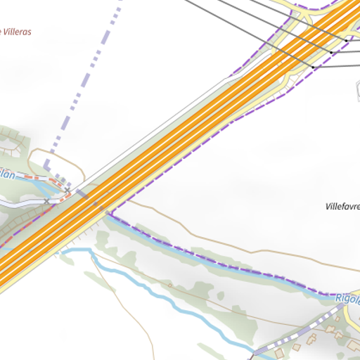
This is a topographic and infrastructure map depicting a transportation corridor crossing a river valley, with the frame oriented to show a diagonal multi-lane highway or railway (rendered in parallel orange stripes) running from the lower left toward the upper right quadrant. A blue watercourse labeled "Rigole" flows along the bottom edge, curving northeastward beneath the corridor, with light green shading indicating riparian or low-lying terrain adjacent to it. Purple dashed lines, possibly denoting administrative boundaries or planning zones, parallel the corridor on both sides. The label "Villefavre" appears in the right half, while "Villeras" is partially visible in the upper left. A secondary road (tan line) intersects the corridor near the left edge, where a small built-up area with rectangular building symbols is clustered. Contour-like shading suggests gentle elevation changes, with paler tones dominating the upper right and slightly darker greens in the lower left valley. The corridor structure includes multiple parallel lines consistent with a major transit route, possibly with associated service roads or tracks flanking the central alignment.
|
2
|
00000002
|
|
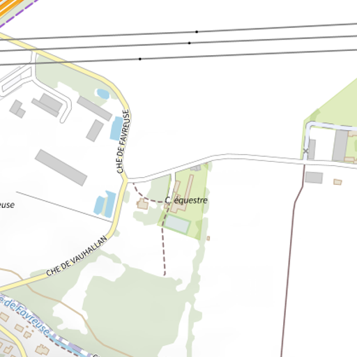
This topographic map depicts a semi-rural area in the upper left quadrant of the frame, centered on the intersection of two labeled roads: "CHE DE FAVREUSE" running vertically and "CHE DE VAUHALLAN" running diagonally from lower left toward center. The upper portion contains parallel black lines consistent with railway tracks spanning horizontally across the frame. In the central area, a green-shaded zone labeled "Céquestre" contains rectangular building footprints and is bordered by a dashed line on its western edge. Light blue polygons, possibly representing water features, appear adjacent to CHE DE FAVREUSE. The lower and right portions display extensive pale green shading indicating open or vegetated land, with scattered gray rectangular structures. A thin brown line runs vertically along the right edge, possibly a property boundary or trail. The map employs standard OpenStreetMap symbology with yellow highlighting for road names.
|
3
|
00000003
|
|
This is a topographic or cadastral map excerpt depicting a rural area in the upper left quadrant with green-shaded land use, labeled "Ménillez" and "equestre," containing a small blue water body and building footprints. A dashed line labeled "CHE DE FAVREUSE" runs horizontally across the lower middle of the frame, intersecting with a solid brown line that extends toward the right edge. Three parallel gray lines with black dot markers span the upper portion of the image, consistent with a transit corridor or utility infrastructure. A wavy tan line descends from the upper right, possibly indicating a boundary or natural feature. A purple dashed line appears in the lower right corner. The majority of the frame consists of unshaded white space.
|
4
|
00000004
|
|
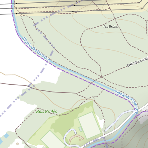
This topographic map depicts a rural area in the upper left to lower right quadrant, centered on the Rigole de Faveyrolles watercourse, which appears as a blue line running diagonally from upper left toward lower right, paralleled by a purple dashed line indicating a path or boundary. The upper right portion contains contour lines suggesting gentle terrain with the label "les Brûlis," while the lower left quadrant shows a green-shaded zone labeled "Bois Brûlés," containing two rectangular clearings and a curved track. Dashed brown lines traverse the map, possibly indicating trails or administrative boundaries, with "CHE. DE LA VOIE" labeled along the right edge. A solid brown line crosses horizontally through the center, intersecting the watercourse, consistent with a road or railway. The upper margin shows parallel gray lines with black dots, suggesting infrastructure such as power lines or a highway. Light green shading dominates the background, indicating open or agricultural land.
|
5
|
00000000
|
|
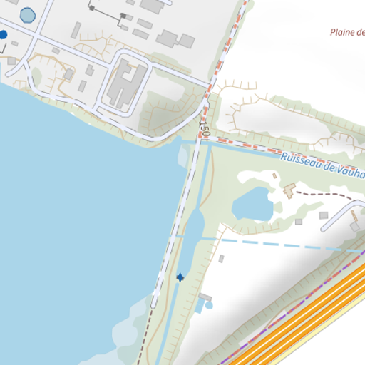
This is a topographic or cadastral map depicting a coastal or lakeside area with mixed urban and natural features. The left half of the frame is dominated by a large blue water body, bordered by a developed shoreline in the upper left quadrant containing gray building footprints, rectangular parcels, and a network of white roads with orange centerlines. A prominent north-south linear feature, possibly a road or rail corridor labeled with "100," runs vertically through the center, intersecting a waterway marked "Ruisseau de Vauha" that flows eastward. The right side contains green-shaded zones suggesting parkland or natural areas, with a small blue pond in the upper right quadrant, scattered gray structures, and a dashed brown line indicating a trail or boundary. Parallel orange and purple lines in the lower right corner suggest a major transportation corridor, while red-and-white dashed lines along the central road indicate construction or restricted zones. The upper right corner shows partial text "Plaine de," consistent with a place name. A small blue marker appears near the center-bottom of the frame.
|
6
|
00000005
|
|
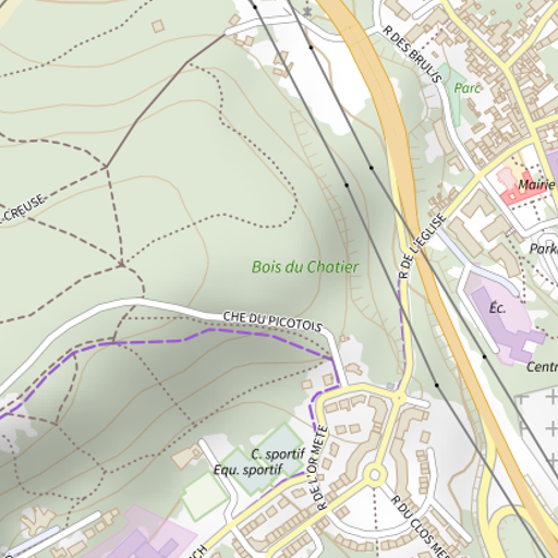
This topographic map depicts a hilly suburban area in the upper left and central portions, transitioning to denser urban development in the lower right quadrant. The upper left half is dominated by the "Bois du Châtier," a forested zone rendered in pale green with closely spaced brown contour lines indicating steep terrain, intersected by dashed brown footpaths and a purple-marked route labeled "CHE DU PICOTOIS" running horizontally across the middle. Below this, in the lower central area, lies a sports complex marked "C. sportif" and "Equ. sportif" with associated rectangular fields. The right half features a major orange-toned arterial road labeled "R DE L'ÉGLISE" running vertically, paralleled by railway tracks, with residential street grids including "R DU CLOS M..." and "R DES BRULIS" in the upper right, where a "Mairie" (town hall) appears in pink and an "Éc." (school) in purple. A roundabout sits at the intersection near the map's lower center, with commercial or institutional purple shading in the bottom left corner. Water features or low-lying areas appear as unshaded linear zones adjacent to the railway.
|
7
|
00000006
|
|
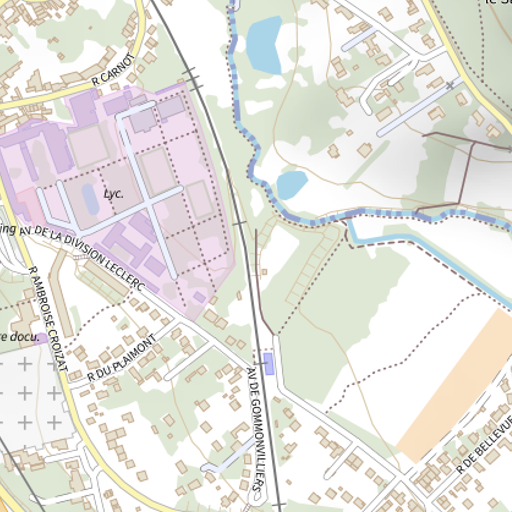
This is a detailed urban topographic map depicting a mixed-use area with residential, institutional, and green space zones. The left half features a large purple-shaded institutional complex labeled "Lyc." (possibly a lycée), bounded by R CARNOT to the north and AV DE LA DIVISION LECLERC running diagonally through its center, with R DU PLAIMONT forming its southern edge. A prominent north-south railway corridor bisects the frame, with AV DE GOMMONVILLERS paralleling it on the east. The right half contains extensive green-shaded open space with two blue water bodies in the upper portion, bordered by a blue-lined watercourse running horizontally across the middle. Residential areas with dense tan building footprints occupy the lower left and right corners, with R AMBROISE CROIZAT and R DE BELLEVUE marking respective boundaries. Dashed brown lines indicate parcel or zone boundaries throughout, and a small blue rectangle near the railway suggests a transit stop. The map uses standard French cadastral symbology with contour-consistent green tones indicating lower elevation in valley areas near the watercourse.
|
8
|
00000007
|
|
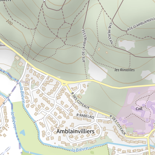
This topographic map depicts the village of Amblainvilliers and its surrounding terrain in the upper left quadrant of the Paris region. The central built-up zone, labeled "Amblainvilliers," occupies the lower half of the frame with dense tan-shaded building footprints arranged along curved streets including R des Coteaux and R Rabelais. A yellow-highlighted major road, D130, arcs across the middle of the image from left to right, intersecting with R de la Princesse which extends northward into forested hills. The river "la Bièvre" flows along the left edge and bottom of the settlement, marked in blue with adjacent green riparian shading. Brown contour lines with 10-meter intervals cover the upper portion, indicating moderate slopes rising toward "les Rinsoiles" in the upper right and "Coll." (possibly a col or pass) in the lower right quadrant, where purple shading suggests a distinct land use zone. Dashed lines throughout the upper area denote paths or minor tracks, while solid brown lines indicate larger roads including "RTE D'AMBLAINVILLIERS" along the top edge. The name "la Bièvre" appears twice along the watercourse, with a small blue pond visible in the lower left near the river bend.
|
9
|
00000009
|
|
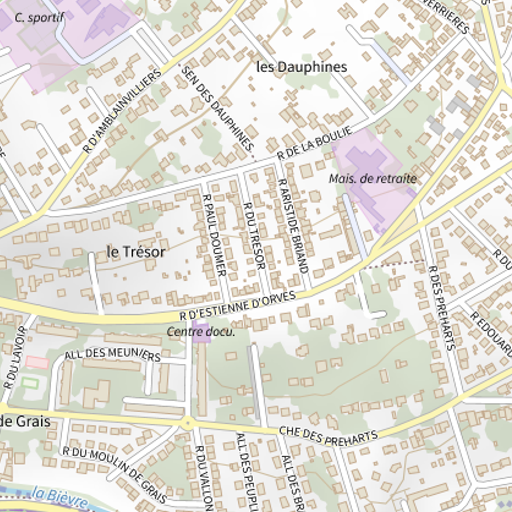
This is a detailed urban street map of a residential district in a French-speaking area, likely a city suburb. The map displays a dense network of roads with labeled street names including "R D'AMBLAINVILLIERS," "SEN DES DAUPHINES," "R DE LA BOULIE," "R PAU DOUMER," "R DU TRESOR," "R ARISTIDE BRIAND," "R D'ESTIENNE D'ORVES," "ALL DES MEUNIERS," "R DU MOULIN DE GRANS," and "CHE DES PREMARTS." Named neighborhoods "les Dauphines" and "le Trésor" appear in the upper center and left-center respectively. A "Mais. de retraite" (retirement home) is marked in purple in the upper right quadrant, while "Centre docu." appears near the center-bottom. Green shading indicates vegetated or park areas distributed throughout, particularly in the lower right and upper left. Yellow-highlighted roads denote major thoroughfares, with "R D'ESTIENNE D'ORVES" running horizontally across the middle of the frame. Building footprints are shown as small tan rectangles densely packed along streets. A "C. sportif" (sports center) appears in purple in the upper left corner, and "la Bièvre" waterway runs along the bottom edge. The map uses standard topographic coloring with white for urbanized areas, green for open space, and purple for institutional buildings.
|
10
|
00000008
|
|
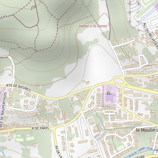
This topographic map depicts a hilly suburban area in the upper left and central portions, with densely packed contour lines indicating steep terrain rising toward the 150-meter elevation mark in the upper left corner, where the labeled feature "Vallée à la Dome" appears in brown text within a green-shaded valley. The lower right half transitions to a flatter residential zone characterized by a grid of yellow-highlighted roads including "RTE DE BIÈVRES" running horizontally across the left middle, "R DE PARIS" extending eastward, and "AV DELA" descending vertically. A purple-shaded institutional area marked "Éc." occupies the central right quadrant, surrounded by numerous small rectangular building symbols. The upper right edge shows "ALL DU BELVEDERE" as a curved road, while dashed lines possibly indicating paths or boundaries traverse the hillside. The map employs standard OpenStreetMap symbology with green for vegetated areas, beige for urban development, and brown for contour intervals.
|
11
|
00000010
|
|
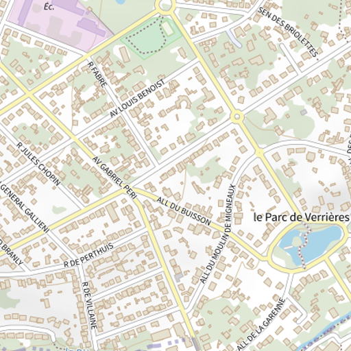
This is a detailed urban street map of a residential area in France, centered on "le Parc de Verrières" in the lower right quadrant. The map displays a network of yellow-highlighted roads including R Fabre, Av Louis Benoist, Av Gabriel Péri, All du Buisson, and All du Moulin de Migneaux, with smaller residential streets forming a grid pattern throughout. Building footprints appear as tan rectangles densely packed across the frame, interspersed with green-shaded areas indicating parks and vegetated spaces. A prominent blue water body sits adjacent to "le Parc de Verrières" label in the lower right, with a dashed pink line possibly marking a walking path around its perimeter. The upper left corner shows a purple-shaded zone labeled "Éc." suggesting an educational institution, while contour-consistent green shading in the upper portion indicates higher elevation or forested terrain. Road intersections are marked with small yellow circles, and the map includes standard cartographic symbols for urban infrastructure without visible transit stops or parking markers. The overall layout shows a suburban municipality with mixed residential density and preserved green corridors.
|
12
|
00000011
|
|
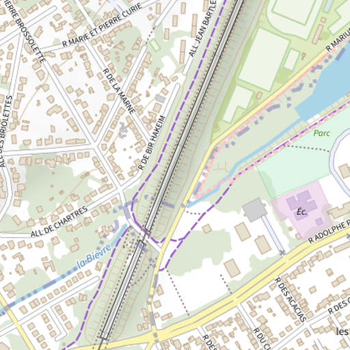
This is a detailed urban street map depicting a mixed residential and infrastructural zone centered on a major railway corridor. Dominating the central vertical axis are multiple parallel rail tracks running from the upper to lower edge, flanked immediately to the west by Allée Jean Bart and to the east by a green corridor containing the Bièvre watercourse, which flows diagonally from lower left toward upper right. The upper left quadrant shows a dense residential grid with labeled streets including Rue de la Marne, Rue de Bir Hakeim, Rue Marie et Pierre Curie, and Rue Brossolette, with individual building footprints rendered in tan. A purple dashed line, possibly indicating a transit or cycling route, parallels the railway along its western edge and crosses beneath it via a tunnel near the center. The lower right quadrant features larger institutional or commercial blocks, including a purple-shaded zone labeled "Ec." and a "Parc" designation in green along the watercourse. Yellow-highlighted roads including Rue d'Issy-les-Moulineaux and Rue Adolphe Périer indicate major thoroughfares, with the latter running horizontally across the lower portion. Contour-like green shading in the upper right suggests gently elevated parkland. The map employs standard OpenStreetMap symbology with building footprints, road hierarchies by color and width, and hydrographic features in blue.
|
13
|
00000012
|
|
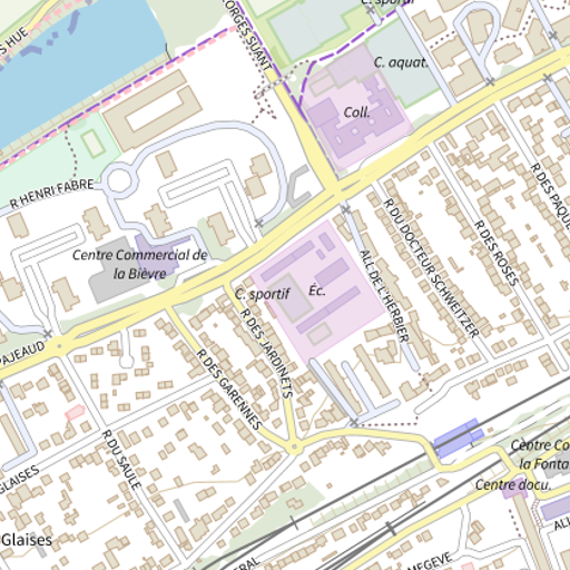
This is a detailed urban street map of a commercial and residential district in a French-speaking area, likely a city suburb. Dominating the upper left quadrant is the Centre Commercial de la Bièvre, a large retail complex with extensive parking areas, bordered by Rue Henri Fabre to the west. A major yellow-highlighted arterial road, Boulevard du Docteur Schweitzer, runs diagonally from the upper right toward the lower center, intersecting with Rue des Jardins and Allée de l'Héritier. To the northeast of this intersection, a purple-shaded zone contains a "Coll." (collège) and "C. aquat" (aquatic center), with "C. sportif" and "Ec." (école) appearing in adjacent pink-shaded blocks. The lower portion displays dense residential blocks with small parcel outlines along Rue des Garennes and Rue du Saule. Railway tracks appear as parallel black lines across the bottom edge, with "Centre docu." and "la Fonton" labeled nearby. A water body occupies the extreme upper left corner, with a purple dashed line, possibly a transit route or boundary, tracing along its southern edge via Rue de la Bièvre. Street names are rendered in black text, with road classifications indicated by yellow (major) and white (minor) fill colors.
|
14
|
00000015
|
|
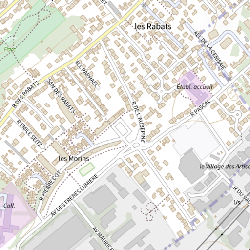
This is a detailed urban street map of a residential neighborhood in the "les Rabats" and "les Morins" areas. The map displays a dense grid of streets with labeled roads including Allée Raphaël, Rue des Rabats, Rue de l'Aubépine, and Avenue des Frères Lumière running through the central and lower portions. Building footprints appear as small tan rectangles throughout, with larger gray-shaded industrial or commercial structures concentrated in the lower right quadrant, including a zone marked "le Village des Artisans." A purple-shaded area labeled "Établ. accueil" sits in the upper right, adjacent to Rue Pascal. Green spaces appear in the upper left corner and as a small rectangular patch near "les Morins." Dashed lines indicating paths or boundaries traverse the area diagonally, while a yellow-highlighted main road cuts across the upper portion. A "Collège" is marked in purple in the lower left, and rail or transit lines appear as parallel black lines with crossbars in the lower right. The map uses standard OpenStreetMap styling with white background, gray building fills, and color-coded land use zones.
|
15
|
00000013
|
|
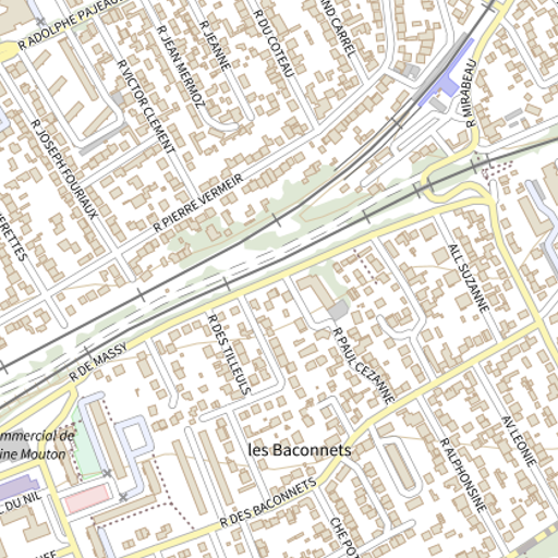
This is a detailed urban street map of a residential district in Massy, France, centered on the "les Baconnets" neighborhood in the lower right quadrant. Dominant features include a major railway line running diagonally from the upper right toward the center-left, paralleled by R de Massy along its southern edge. The map displays a dense grid of residential streets with labeled roads including R des Villeuls, R Paul Cézanne, R des Baconnets, and R Pierre Vermeir in the central area, with R Jean Mermoz and R Victor Clement in the upper left. A commercial zone marked "commerciale" with parking symbols appears in the lower left quadrant near "DU NIL." Building footprints are rendered in beige with white interiors, while roads appear in white with yellow highlighting for major routes. Green shading indicates a narrow linear park or vegetated corridor along the railway embankment. The upper right corner shows an interchange with "R du Maréchal" and "R Mirabeau" near a purple-shaded area possibly indicating a transit station. Street labels are clearly legible throughout, with no contour lines or elevation data visible. The map ends at the lower edge with Chemin du Pot and R Alphonse.
|
16
|
00000016
|
|
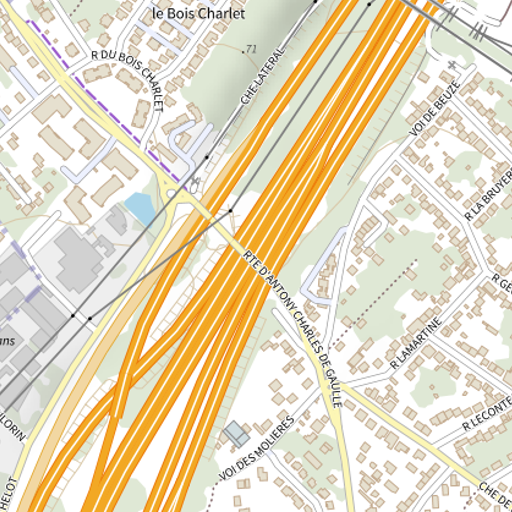
This is a detailed urban street map depicting a transportation corridor in a French-speaking area, with the dominant feature being multiple parallel orange-highlighted highways labeled "RTE D'ANTONY CHARLES DE GAULLE" running diagonally from the lower left toward the upper right quadrant. These highways intersect with "CHE-LATERAL" along the upper edge and are flanked by residential zones with dense building footprints in beige shading on both sides. To the left of the highway complex lies "le Bois Charlet," a green-shaded area with "R DU BOIS CHARLET" running along its edge, while the right side features a network of local streets including "VOI DE BEUZE," "R LA BRUYÈRE," "R LAMARTINE," and "R LECONTE." A light blue polygon, possibly a water body, appears in the left-center near the highway interchange, and gray-shaded commercial or industrial buildings occupy the lower left corner along "R FLORIN." The map uses standard OpenStreetMap styling with purple dashed lines indicating boundaries and varying road widths to denote hierarchy.
|
17
|
00000014
|
|
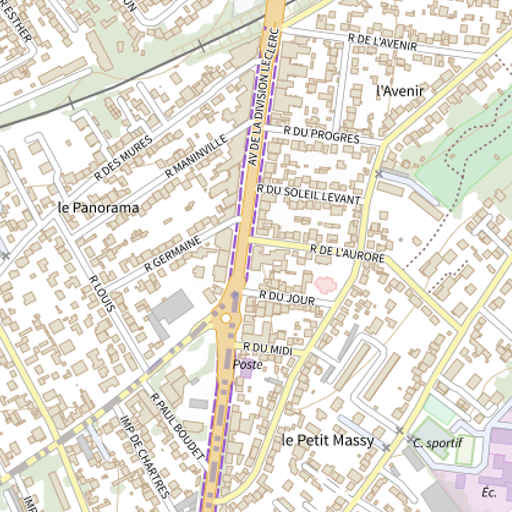
This is a detailed urban street map depicting a residential and commercial district, likely in a French-speaking municipality given the street nomenclature. The central vertical axis is dominated by Avenue de la Division Leclerc, a major thoroughfare running from the upper edge to the lower portion of the frame, distinguished by orange-yellow coloring and purple dashed lines suggesting a transit corridor. Intersecting this artery are numerous labeled residential streets including Rue du Progrès, Rue du Soleil Levant, Rue de l'Aurore, Rue du Jour, and Rue du Midi in the right half, and Rue des Mûres, Rue Manainville, Rue Germaine, and Rue Louis in the left half. The lower left quadrant contains Rue Paul Boudet and Impasse de Chartres. Notable labeled landmarks include "le Panorama" in the upper left, "Poste" near the central intersection, and "le Petit Massy" in the lower right. A "C. sportif" (sports complex) appears as a green-shaded polygon in the lower right corner, adjacent to a purple-shaded institutional zone labeled "Éc." Green areas in the upper right and scattered edges indicate parkland or vegetated spaces. Building footprints are rendered as dense beige rectangles throughout, with darker gray shading marking larger structures. The upper portion shows a curved rail line running horizontally, labeled with "R de l'Avenir" and "l'Avenir" appearing as a neighborhood or station name. Contour-like dashed lines in the upper right green space suggest topographic variation. The map employs standard cartographic conventions with yellow lines for secondary roads, white backgrounds for built areas, and sans-serif labeling at varying scales indicating street hierarchy.
|
18
|
00000017
|
|
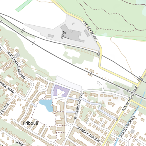
This is a topographic street map of a residential and industrial area centered on Fribouli in the lower left quadrant. The map shows a dense network of streets in the lower half, with labeled roads including R DE CHATEAUBRIAND running vertically through the left, R GILBERT ROBBE and R ANDRE THIERRY forming a curved intersection in the center, and RUE DE MONTJEAN with IMP DES GLAISES on the right. A light blue water body sits near the center-left, surrounded by beige residential building blocks. The upper half contains industrial or commercial zones marked "Us." with gray shading, bordered by CHE DE FRESNES curving from upper right to center. Multiple parallel railway lines cut diagonally across the upper portion, with green shaded areas indicating open land or vegetation in the upper right. A purple-shaded area near the water body possibly indicates a public facility or commercial zone. Dashed lines suggest pedestrian paths or zone boundaries throughout the residential area.
|
19
|
00000018
|
|
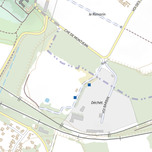
This is a topographic and land-use map depicting an industrial and transportation corridor in a French-speaking region. The central and lower-right portion is dominated by a large, light gray polygon labeled "Déchet," indicating a waste management or landfill facility, bordered along its northern edge by a dashed purple line suggesting a property or operational boundary. A prominent road labeled "VOI BARBIN" runs vertically through the right side of this facility, connecting to "CHE DE MONTJEAN," a yellow-highlighted secondary road traversing the upper portion of the frame from left to right. Parallel to and below the facility, multiple dark gray railway lines with cross-hatching run horizontally across the lower third of the image. The upper left quadrant contains green-shaded areas with closely spaced contour lines indicating moderately sloped terrain, interspersed with smaller built structures. Two small blue square symbols appear within the "Déchet" facility, possibly indicating monitoring points or facility infrastructure. The label "le Rimarin" appears in the upper right, likely denoting a watercourse or topographic feature, while "VOI DES" is partially visible along the right edge, suggesting another road designation. Residential or small-scale development appears as clustered brown rectangles in the lower left corner, separated from the industrial zone by the railway corridor.
|
20
|
00000020
|
|
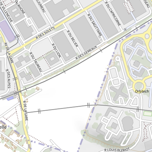
This is an urban street map depicting a mixed-use area with residential, commercial, and institutional zones. In the upper left quadrant, a grid of residential streets—including R des Solets, R du Lion, R du Taureau, and R du Bélier—forms a compact rectangular block with gray-shaded building footprints. A major arterial road, Av de la Gare, runs vertically along the left edge, intersecting with R des Alpes and R de la Gare. A prominent diagonal corridor, possibly a railway or highway, spans the full width of the map from upper right to lower left, separating the upper residential zone from the lower area. In the right half, the Orlytech facility occupies a large irregularly shaped campus with curved internal roads and green space shading, bordered by R du Capricorne and R Louis Blériot along the lower edge. Dashed purple lines, possibly indicating administrative boundaries or transit corridors, appear along the left and right edges. The central lower portion contains an unlabeled white space, possibly water or undeveloped land, crossed by two parallel gray lines with tick marks suggesting a bridge or crossing structure. Yellow-highlighted roads indicate major thoroughfares, including a roundabout at the Orlytech entrance.
|
21
|
00000019
|
|
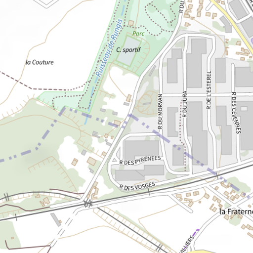
This is a detailed topographic street map of an urban area in a French-speaking region, centered on a zone labeled "la Couture" in the upper left and "la Fraternité" in the lower right. A prominent blue waterway labeled "Ruisseau de Rungis" runs vertically through the upper center, bordered by green-shaded parkland marked "Parc" and "C. sportif." The right half contains a grid of rectangular industrial or commercial blocks with labeled streets including "R DU MORVAN," "R DU JURA," "R DE L'ESTEREL," "R DES CEVENNES," "R DES PYRÉNÉES," and "R DES VOSGES." A dashed purple line, possibly a planned transit or utility corridor, diagonally crosses the map from lower right to upper left. Heavy rail lines with a station symbol run horizontally across the lower portion, intersecting with "R DES VOSGES." Contour lines and elevation shading appear in the upper left, indicating varied terrain, while the lower right shows denser residential blocks with smaller building footprints. Road classifications are indicated by line weight and color, with major routes in darker tones. The map includes standard cartographic symbols for water, vegetation, buildings, and transportation infrastructure.
|
22
|
00000021
|
|
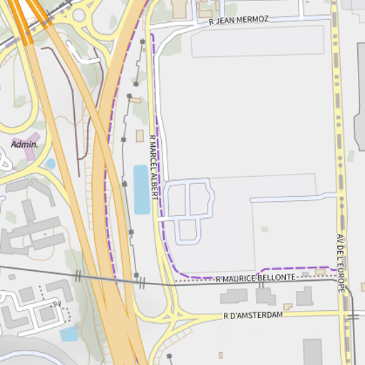
This is a detailed urban street map showing a section of a city with major roadways and labeled streets. The left half features a complex highway interchange with multiple orange-colored motorway ramps and overpasses, alongside parallel railway tracks marked by dashed purple lines. Running vertically through the center-left is R Marcel Albert, a road flanked by the railway corridor. The upper right quadrant contains R Jean Mermoz, while the lower portion shows R Maurice Bellonte running horizontally and intersecting with R d'Amsterdam, which spans the bottom edge. AV de l'Europe appears as a major vertical road along the right edge. A light blue rectangular water body or open space sits near the center-left, adjacent to R Marcel Albert. Gray building footprints appear scattered throughout, with larger white rectangular zones suggesting industrial or commercial land use in the upper right and center-right areas. Small black symbols, possibly indicating transit stops or amenities, line the railway corridor. An "Admin." label appears in the left-center near the highway interchange. The map uses standard OpenStreetMap styling with yellow for major roads, white for minor streets, and gray for built structures.
|
23
|
00000023
|
|
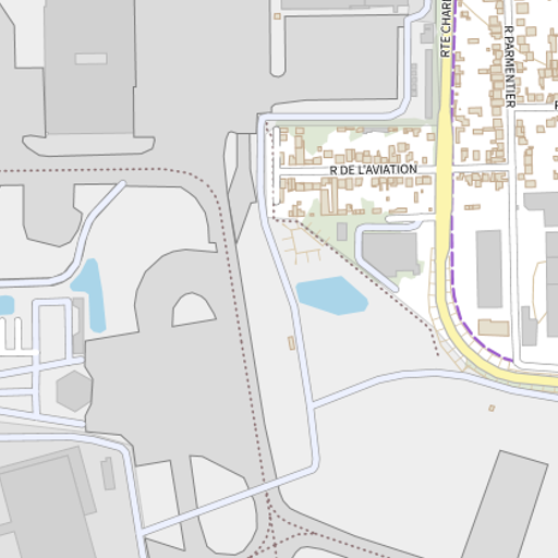
This is a detailed urban street map depicting a mixed-use area with transportation infrastructure, industrial zones, and residential blocks. The upper right quadrant features a prominent yellow-highlighted road labeled "RTE CHAR" running vertically, parallel to "R PARMENTIER," with "R DE L'AVIATION" intersecting horizontally through a zone of dense brown building footprints. A diagonal dashed brown line, possibly a railway or administrative boundary, cuts from the upper left toward the lower right, crossing near two light blue water bodies positioned in the left-center and center-right areas. Large gray polygons dominate the left and lower portions, consistent with industrial or airport-related land use, with smaller white road networks and scattered building symbols throughout. The map employs standard cartographic conventions with color-coded land uses: gray for large-scale infrastructure, brown for built structures, green for a small park-like area near R DE L'AVIATION, and blue for water features. No compass rose or scale bar is visible, though the gridded street pattern in the upper right suggests an urban European context. The lower left contains additional gray industrial blocks with internal road networks and small blue water features.
|
24
|
00000022
|
|
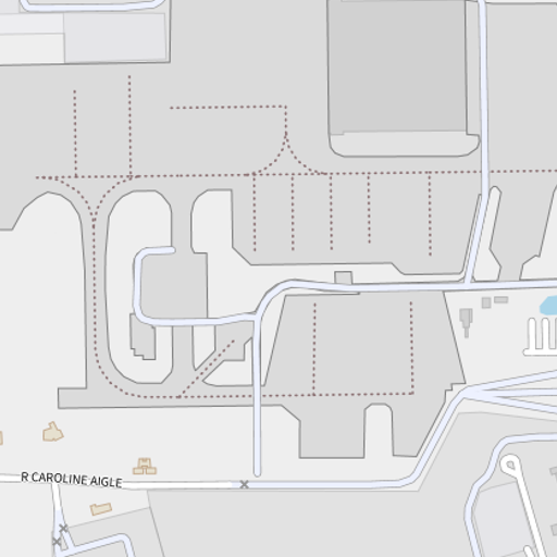
This is a detailed urban street map depicting a commercial or industrial zone with extensive parking infrastructure. The central and upper portions are dominated by large, irregularly shaped gray-shaded building footprints surrounded by numerous dotted-line rectangles, consistent with surface parking lots arranged in grid patterns. A prominent curved roadway with multiple lanes and turning radii occupies the left-center, connecting to a straight east-west thoroughfare labeled "R CAROLINE AIGLE" along the bottom edge. White lines indicate roadways throughout, with a major intersection in the lower right quadrant where multiple roads converge. Small brown building icons appear in the lower left near the labeled street. The upper right contains additional gray building masses with less defined internal structure, while a small blue polygon in the far right suggests a water feature or pond. The overall layout indicates a vehicle-oriented development with separated building and parking zones.
|
25
|
00000024
|
|
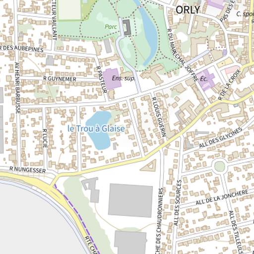
This is a detailed urban street map of the Orly area in France, centered on the intersection of Rue du Maréchal Joffre and Rue Louis Guérin. The upper portion features a large green-shaded park labeled "Parc" with a blue water body and a purple-shaded "Ens. sup." (higher education establishment) adjacent to Rue Pasteur. Below this, a prominent blue lake labeled "le Trou à Glaise" occupies the central-left quadrant, surrounded by dense residential blocks with individual building footprints. Major roads include the yellow-highlighted Rue du Maréchal Joffre running diagonally from upper right to lower left, and Rue Nungesser along the bottom edge. The lower left corner shows a purple-dashed transit line labeled "RER C" parallel to a green corridor. Gray-shaded industrial or commercial buildings appear in the lower center, while the upper right contains a zone marked "Ec." in purple, possibly another educational facility. Street names such as Rue Guymer, Rue Lucie, and Allée des Glycines label the fine-grained urban grid throughout.
|
26
|
00000026
|
|
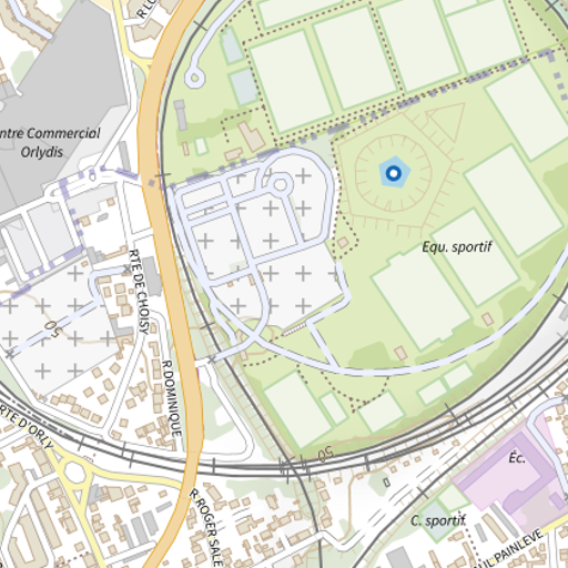
This is a detailed urban street map depicting a mixed-use area in Orly, France, centered on the intersection of major roadways. A prominent orange-colored arterial road, labeled "RTE DE CHOISY" and "RODOMINIQUE," runs vertically through the left-center of the frame, intersecting with "RTE D'ORLY" and "RUE ROGER SALENGRO" near the bottom. To the upper left, a large gray-shaded commercial zone is labeled "Centre Commercial Orlydis." The central-right portion features extensive green-shaded recreational areas marked "Equ. sportif," containing a distinctive circular symbol with radiating lines and a blue center marker, possibly indicating a stadium or equestrian facility. Multiple white rectangular zones with cross-hatching, consistent with parking areas, occupy the center. Parallel railway lines run horizontally across the lower third, with "C. sportif" and "Éc." (école) labeled in purple and pink shading in the lower right quadrant. Residential blocks with small brown building footprints cluster in the lower left and along the right edge, while dashed purple lines suggest administrative or planning boundaries throughout the green spaces.
|
27
|
00000025
|
|
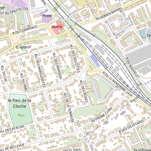
This is a detailed urban street map of a French town center, likely in the Île-de-France region, depicting a residential and administrative area intersected by major transportation corridors. Dominating the upper portion, a railway line with multiple parallel tracks runs diagonally from upper left to lower right, crossed by Avenue Adrien Raynal and Rue du 11 Novembre 1918. Near this intersection in the upper left quadrant, a red-shaded polygon labeled "Mairie" indicates the town hall, adjacent to a purple-shaded "Poste" and connected to Rue du Commerce. Below the railway, a dense grid of residential streets with allotments named after flowers and plants—Allée des Mimosas, Allée des Marguerites, Allée des Violettes, Allée des Roses—fills the central area, with individual building footprints shown in beige. A large green polygon labeled "le Parc de la Cloche" occupies the lower left quadrant, marked with a tree symbol and bordered by Allée du Parc. The lower right contains Avenue Pierre Curie and Rue des Gilletains, with additional green spaces suggesting parks or gardens. Road classifications are indicated by line thickness and color, with yellow highlighting major routes and white for local streets. The map uses standard French cartographic conventions with building footprints, street names in mixed case, and public facilities distinguished by color coding.
|
28
|
00000027
|
|
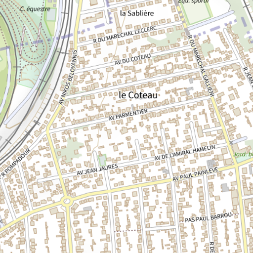
This is a detailed urban street map of a residential district in Le Coteau, France, showing a grid-like pattern of streets and buildings. The map displays several named roads including Avenue du Coteau running horizontally through the upper middle, Avenue Parmentier below it, Avenue de l'Amiral Hamelin and Avenue Jean Jaurès in the lower half, and Avenue Paul Painlevé in the bottom right quadrant. Major thoroughfares appear as thicker yellow lines, notably Avenue des Bellevinois running vertically along the left side and Rue du Maréchal Leclerc in the upper portion. The area labeled "la Sablière" occupies the upper central zone, while "C. équestre" with circular track patterns appears in the upper left corner adjacent to railway lines. Green shaded areas indicating parks or open spaces are visible in the upper left and along the right edge, with building footprints rendered as tan rectangles throughout the densely packed central and lower portions of the frame. A roundabout is marked at the intersection of Avenue Jean Jaurès and Avenue des Bellevinois in the lower left quadrant. The map uses standard French cartographic conventions with purple text for neighborhood names and black text for street labels.
|
29
|
00000030
|
|
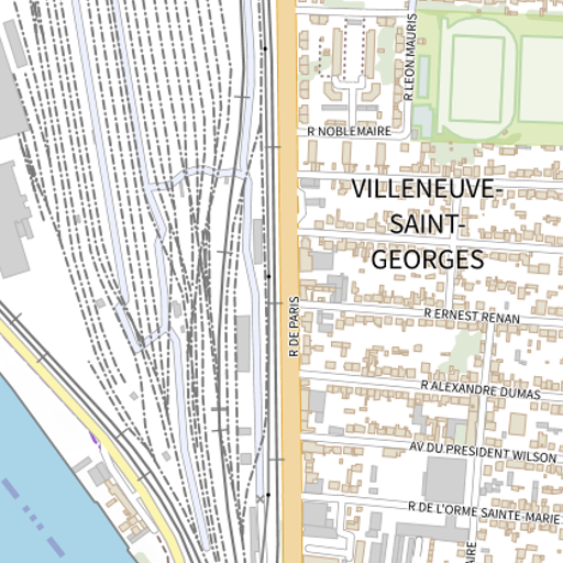
This is an urban street map of Villeneuve-Saint-Georges, a commune in the southeastern suburbs of Paris, France. The left half of the map is dominated by a dense railway corridor with numerous parallel tracks running vertically, labeled "R DE PARIS" along its eastern edge, with a light blue water body in the lower left corner. The right half contains the gridded urban fabric of Villeneuve-Saint-Georges, with labeled east-west streets including R NOBLEMAIRE, R ERNEST RENAN, R ALEXANDRE DUMAS, AV DU PRESIDENT WILSON, and R DE L'ORME SAINTE-MARIE. Building footprints appear as small tan rectangles throughout the residential area, with two large green rectangular fields—possibly sports grounds—in the upper right quadrant, bordered by R LEON MAURIS. The railway and urban zones are separated by the prominent vertical R DE PARIS roadway.
|
30
|
00000029
|
|
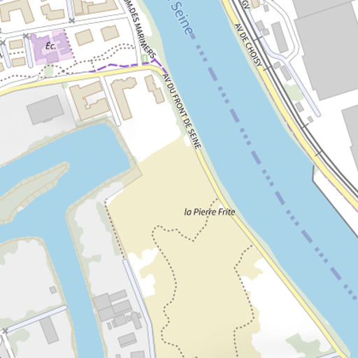
This is an urban waterfront map depicting a section of the Seine River in Paris. The river, shown in blue, forms a diagonal corridor from the upper left toward the lower right, bordered by AV. DU FRONT DE SEINE running parallel along its left bank. In the upper left quadrant, a dense urban zone contains building footprints in beige and gray, with QUAI DES MARINIERS and a purple-shaded area marked "ÉC." indicating a possible educational or cultural facility. A major transportation corridor, AV. DE CHOISY, runs parallel to the river's right bank with rail infrastructure. Toward the center and lower portion, a large beige land use zone labeled "la Pierre Frite" dominates, bounded by dashed lines suggesting a park or recreational area, with internal dotted paths and adjacent water bodies in light blue. The lower left contains additional building clusters and canal-like water features. A dashed purple line in the river indicates a possible ferry or navigation route.
|
31
|
00000031
|
|
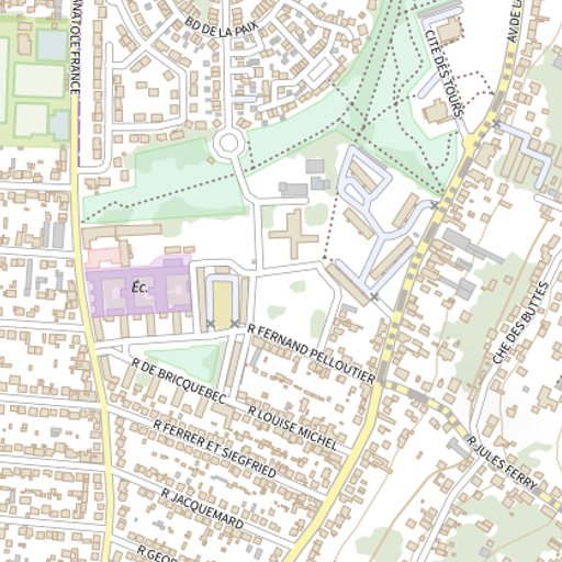
This is a detailed urban street map of a French city district, likely from an OpenStreetMap-derived source, showing a residential and institutional area with a mix of grid and irregular street patterns. The left half features AV ANATOLE FRANCE running vertically as a major thoroughfare, with BD DE LA PAIX curving through the upper left quadrant. The central area contains a large purple-shaded institutional complex labeled "Éc." (possibly a school), bordered by R DE BRICQUEBEC to the south and R FERNAND PELLOUTIER to the east. A prominent green space occupies the upper center, traversed by dotted lines consistent with a transit corridor or pedestrian path, with CITÉ DES TOURS labeled in the upper right. The lower portion displays a denser residential grid with streets including R LOUISE MICHEL, R FERRER ET SIEGFRIED, and R JACQUEMARD running east-west, intersected by R JULES FERRY angling through the right half. Yellow-highlighted roads indicate primary routes, with CHE DES BUTTES visible along the right edge. Building footprints appear as beige rectangles throughout, with varying densities suggesting mixed residential and small-scale commercial use. A roundabout sits at the intersection of BD DE LA PAIX and the green space's western edge. The map lacks contour lines or explicit elevation markers, relying on street names and symbolic shading for land use differentiation.
|
32
|
00000028
|
|
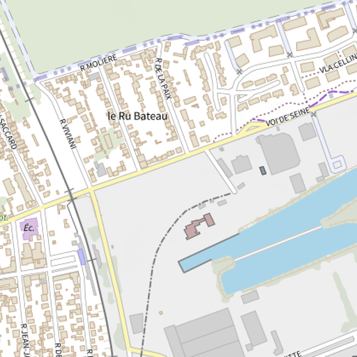
This is an urban street map depicting a mixed-use area in a French city, likely Paris or its inner suburbs, centered on the neighborhood labeled "le Ru Bateau." The upper portion contains a dense residential zone with compact building footprints arranged in irregular blocks, bounded by R. Molière along the top edge, R. de la Paix running vertically through the center, and R. Viviani to the left. A major yellow-highlighted arterial road, Voie de Seine, cuts diagonally across the middle of the map from upper right to lower left, separating the residential quarter from an industrial or commercial zone below. This lower zone features large rectangular building footprints, extensive paved areas, and a prominent blue water body—possibly a canal basin or dock—occupying the lower right quadrant. A dashed line with purple segments, possibly indicating a transit route or administrative boundary, parallels Voie de Seine in the upper right. Rail infrastructure appears as parallel gray lines with cross-hatching in the left portion, intersecting R. Viviani. The map employs standard OpenStreetMap styling with beige for buildings, yellow for major roads, and light green for a park or open space strip along the upper edge. A small purple-shaded area marked "Éc." in the lower left suggests an educational facility. The overall layout shows a clear transition from dense 19th-century urban fabric north of the arterial to larger-scale industrial land uses toward the water.
|