| # | key | img1.tif | txt |
|---|
1
|
AA-S1-32__D004-2021_AERIAL_RGBI_AA-S1-32_1-1
|
|
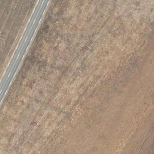
This aerial view captures a rural landscape dominated by dry, brown agricultural fields with sparse vegetation texture. A paved two-lane road with visible center markings runs diagonally through the left portion of the frame, extending from upper left toward lower left. Parallel to and right of the road, a linear power transmission corridor cuts across the scene from upper right to lower left, containing 2 to 3 visible transmission towers with associated shadow signatures. The fields exhibit subtle tonal variations suggesting plowed or fallow conditions, with faint linear patterns indicating previous cultivation rows. A narrow, lighter-toned path or secondary track appears in the lower right quadrant, running roughly parallel to the main road. The overall surface coloration ranges from tan to medium brown with localized darker patches of exposed soil or sparse ground cover. No buildings, water bodies, or significant vegetation clusters are discernible at this resolution. The image terminates at the lower edge with a continuation of the uniform agricultural surface.
|
2
|
AA-S1-32__D004-2021_AERIAL_RGBI_AA-S1-32_1-10
|
|
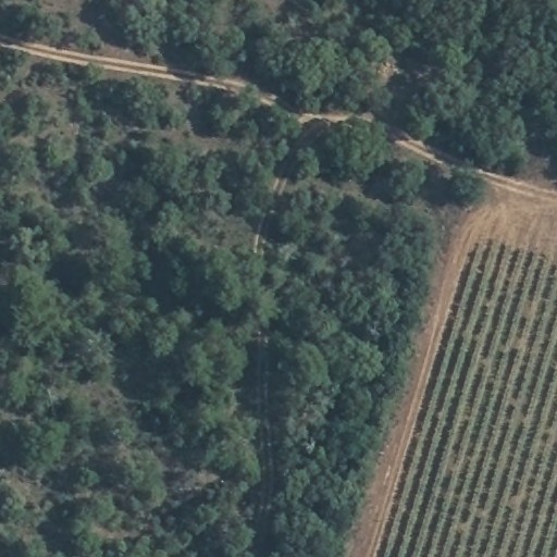
This aerial image depicts a rural landscape dominated by dense vegetation and agricultural land use. The left two-thirds of the frame consists of continuous forest canopy with dark green, textured tree cover interspersed with lighter green patches indicating variable vegetation density. A light-colored linear feature, possibly a dirt road or trail, runs diagonally from the upper left corner toward the center-right edge, appearing approximately 3 to 5 meters in width with visible lighter margins. In the lower right quadrant, a rectangular agricultural field displays parallel rows of crops or planted vegetation, oriented northeast-southwest, with brown soil visible between the rows. The boundary between forest and field forms a distinct linear edge running vertically through the right portion of the image. No buildings, vehicles, or water bodies are clearly resolvable at this scale. The overall scene suggests a managed landscape interface between natural woodland and cultivated agriculture.
|
3
|
AA-S1-32__D004-2021_AERIAL_RGBI_AA-S1-32_1-11
|
|
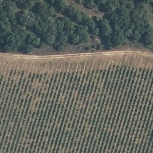
The image depicts an agricultural landscape divided into two distinct zones. The upper portion contains dense, dark green tree cover spanning the upper left to upper right quadrants, with irregular canopy shapes and variable shadowing suggesting mature forest. A narrow, light-toned linear feature—possibly a dirt road or track—runs horizontally across the middle of the image, separating the forest from the cultivated area below. The lower half shows regularly spaced rows of vegetation, likely an orchard or plantation, with approximately 30 to 40 visible rows oriented diagonally from lower left to upper right; the plants appear as small, rounded green forms with brown inter-row spacing. Sparse lighter patches within the agricultural area suggest gaps or younger vegetation. No buildings, vehicles, or water bodies are clearly distinguishable. The boundary between forest and agriculture appears sharp, with minimal transitional vegetation. The overall tone is dominated by greens and browns with high sun angle illumination casting short shadows.
|
4
|
AA-S1-32__D004-2021_AERIAL_RGBI_AA-S1-32_1-12
|
|
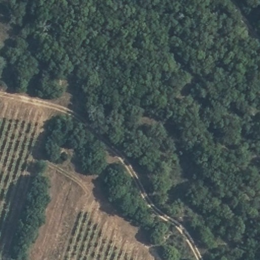
An aerial view captures a landscape divided between dense forest canopy and cultivated agricultural land. The upper right and central portions display continuous tree cover with dark green, textured foliage showing subtle variations in tone suggesting canopy height differences. The lower left quadrant contains parallel rows of crops or young plantings on brown-tan soil, with 8 to 10 visible row sets running diagonally. A narrow, winding light-colored track, possibly a dirt road or path, separates these zones, curving from the left edge toward the lower right. Two shorter linear clearings intersect the agricultural area, forming a rough T-shape near the left margin. Small irregular clearings punctuate the forest edge where it meets the cultivated zone. Shadows cast by trees fall toward the lower left, indicating illumination from the upper right. The boundary between forest and agriculture appears irregular with 3 to 5 protruding forest lobes extending into the cleared area. No structures or vehicles are clearly distinguishable at this resolution. The track shows width variation from approximately 2 to 4 meters, narrowing where it curves through denser tree cover in the lower right quadrant.
|
5
|
AA-S1-32__D004-2021_AERIAL_RGBI_AA-S1-32_1-13
|
|
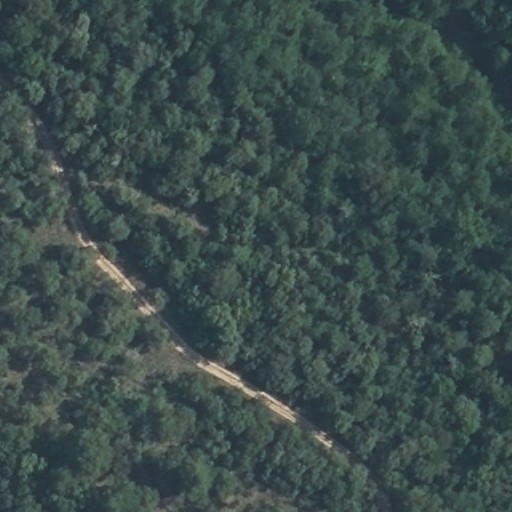
Aerial view of dense forest canopy with a winding, unpaved road cutting diagonally from the lower-left quadrant toward the upper-right, appearing as a light tan linear feature approximately 3–4 meters wide with visible switchbacks and exposed soil surfaces, surrounded by continuous dark green vegetation showing textured crown patterns of varying heights and densities.
|
6
|
AA-S1-32__D004-2021_AERIAL_RGBI_AA-S1-32_1-14
|
|
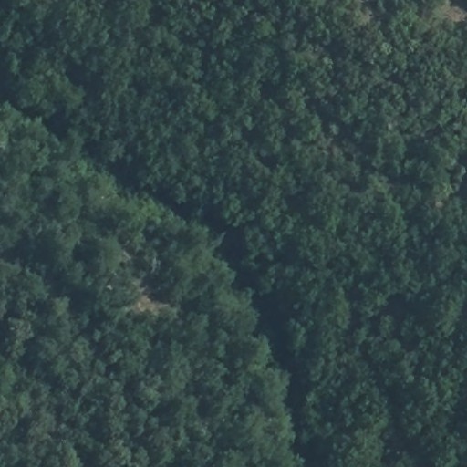
Dense forest canopy dominates the entire frame, with varying shades of green indicating differences in vegetation density and possibly tree species. A narrow, dark linear feature runs diagonally from the upper center toward the lower right quadrant, consistent with a watercourse or shadowed valley. In the upper right quadrant, a small irregular patch of lighter brownish tone interrupts the green cover, possibly indicating exposed soil, a small clearing, or vegetation disturbance. The canopy texture appears relatively uniform with no clearly distinguishable structures, roads, or human-made features visible at this resolution. Subtle variations in tone throughout suggest gentle topographic undulations beneath the tree cover.
|
7
|
AA-S1-32__D004-2021_AERIAL_RGBI_AA-S1-32_1-15
|
|
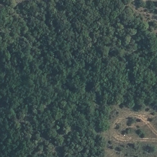
This aerial view captures a densely forested landscape dominated by continuous tree canopy covering approximately 80 percent of the frame, with vegetation exhibiting dark to medium green tones and textured, irregular crown patterns throughout the upper left, center, and lower left quadrants. In the lower right quadrant, a cleared area of exposed earth in light brown and tan hues contains what appears to be a curved dirt road or track, approximately 10 to 15 meters in width, forming a partial loop with visible tire marks and sparse grass patches; adjacent to this track are 3 to 5 small circular or irregular clearings, possibly indicating recent tree removal or small-scale land preparation. A thin, linear feature consistent with a narrow path or utility line runs diagonally from the upper right toward the center-right edge, partially obscured by canopy. The boundary between forested and cleared areas is irregular and diffuse, with scattered individual trees and shrubs extending into the open ground. No buildings, vehicles, or water bodies are clearly distinguishable at this resolution. The overall scene suggests a rural or semi-rural environment with limited human infrastructure, with the cleared area and track representing the primary visible modification to the natural vegetation cover.
|
8
|
AA-S1-32__D004-2021_AERIAL_RGBI_AA-S1-32_1-2
|
|
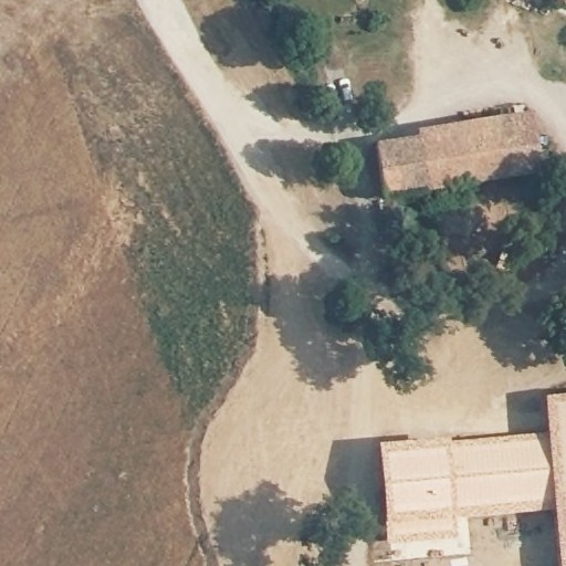
An aerial view captures a rural settlement intersected by a light-colored unpaved road running diagonally from the upper left toward the center. In the upper right quadrant, two rectangular structures with reddish-brown tiled roofs sit adjacent to clusters of dark green trees casting distinct shadows; a small white vehicle is visible near the upper structure. The lower right quadrant contains a larger L-shaped building with a similar roof, surrounded by bare earth and scattered trees. The left half of the image shows agricultural fields: a darker brown plowed or harvested area in the upper left transitioning to a lighter brown, possibly fallow, field in the lower left, separated by a narrow strip of green vegetation running parallel to a curved field boundary. A thin linear feature, possibly a fence or path, marks the edge between the fields and the settlement area. The overall tone is dominated by earthy browns and muted greens under bright illumination.
|
9
|
AA-S1-32__D004-2021_AERIAL_RGBI_AA-S1-32_1-3
|
|
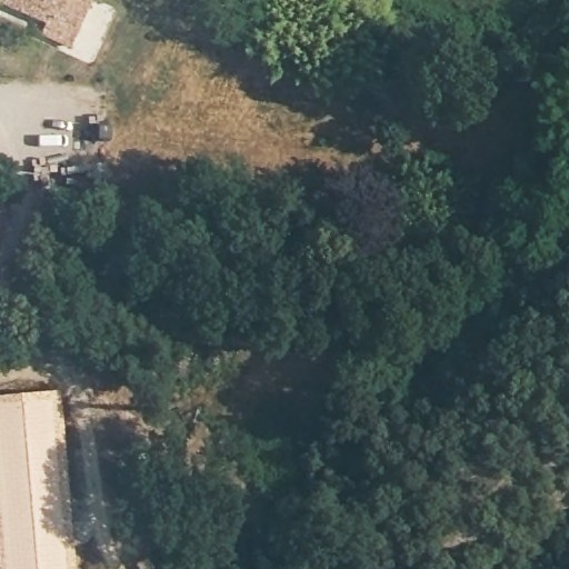
This aerial view captures a mixed-use area dominated by dense tree canopy covering the majority of the frame, with developed land visible in the upper left and lower left quadrants. In the upper left quadrant, a paved area contains 3 to 4 vehicles, including what appears to be a white van and darker-colored cars, adjacent to a structure with a reddish-brown roof. A narrow strip of brown, possibly dry grass or bare soil, separates this parking area from the tree line. The lower left quadrant shows a rectangular building with a light-colored, possibly tan or beige roof, with a narrow linear feature—consistent with a road or pathway—running parallel to its edge. The remaining three-quarters of the image consists of continuous forest cover with varying shades of green, indicating differences in vegetation density or species. No distinct trails or clearings are visible within the wooded area. The shadow patterns suggest illumination from the upper left, casting shadows toward the lower right.
|
10
|
AA-S1-32__D004-2021_AERIAL_RGBI_AA-S1-32_1-4
|
|
The image depicts a dense forest canopy viewed from above, dominated by vegetation in varying shades of dark to medium green with irregular, mottled texture throughout. In the lower right quadrant, a narrow linear clearing approximately 10-15 meters wide cuts diagonally through the forest, exposing lighter-toned bare soil or low vegetation. Scattered small gaps in the canopy, ranging from 5 to 20 meters in diameter, appear across all quadrants, revealing understory or shadowed ground beneath. No structures, vehicles, or human-made features other than the clearing are clearly visible. The canopy surface shows subtle topographic variation, with slightly darker tones in the upper left quadrant suggesting denser vegetation or shadowed depressions. The overall pattern is consistent with mature secondary or primary forest with minimal recent disturbance.
|
11
|
AA-S1-32__D004-2021_AERIAL_RGBI_AA-S1-32_1-5
|
|
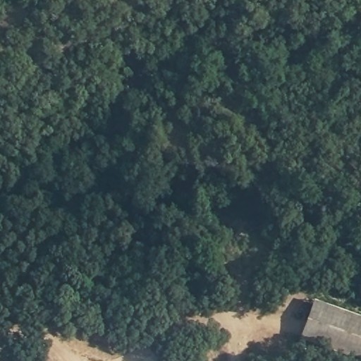
This aerial image depicts a densely forested landscape dominated by continuous tree canopy coverage across the majority of the frame. In the lower right quadrant, a single rectangular structure with a flat, light gray roof is visible, measuring approximately 15 to 20 meters in its longest dimension, positioned immediately adjacent to a cleared, tan-colored earthen area of roughly similar extent. A narrow, winding linear clearing, possibly a dirt track or path, extends from this cleared zone toward the lower left quadrant, partially obscured by overhanging vegetation. The forest canopy exhibits varying shades of dark to medium green with irregular, textured crown patterns, and no other built structures or significant clearings are resolvable within the image boundaries. The roof surface shows subtle tonal variations consistent with possible paneling or weathering patterns.
|
12
|
AA-S1-32__D004-2021_AERIAL_RGBI_AA-S1-32_1-6
|
|
A dense forest canopy dominates the frame, exhibiting continuous tree cover with varying shades of dark to medium green across the entire scene. In the lower left corner, a small rectangular structure with a light gray, possibly concrete or paved surface is partially visible, its straight edges contrasting with the irregular texture of the surrounding vegetation. The forest displays a mottled pattern of crown shadows and sunlit foliage, with no clear paths, clearings, or water bodies distinguishable at this resolution. The overall texture is uniformly granular, consistent with mature broadleaf or mixed forest at nadir viewing angle. A faint linear feature, possibly a narrow trail or natural drainage, appears to run vertically through the center-right portion of the image. The structure in the lower left measures approximately 15 to 20 meters in its visible dimension. No other infrastructure or anthropogenic features are clearly identifiable. The image captures the scene under direct illumination with minimal cloud shadow interference.
|
13
|
AA-S1-32__D004-2021_AERIAL_RGBI_AA-S1-32_1-7
|
|
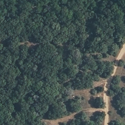
A dense forest canopy dominates the frame, with vegetation covering approximately 85 to 90 percent of the visible area in irregular patches of medium to dark green tones with textured, mottled surfaces indicating tree crowns. A linear unpaved road, light tan in color and 3 to 5 meters in width, enters from the lower right corner and curves toward the center-right, branching into a narrower track that extends toward the upper left quadrant. Cleared areas of brownish bare soil, 10 to 20 meters across, appear adjacent to the road in the lower right and center-right sections. Two small rectangular structures, possibly 5 to 8 meters in length with pale roofs, are visible near the road in the lower right quadrant. A thin linear feature, possibly a trail or utility line, runs parallel to the main road at approximately 50 meters distance in the right portion of the frame. The canopy shows variations in height and density, with some lighter green patches suggesting younger vegetation or canopy gaps. Shadows cast by trees indicate illumination from the upper left. The image terminates at the lower edge with the road continuing beyond the frame boundary.
|
14
|
AA-S1-32__D004-2021_AERIAL_RGBI_AA-S1-32_1-8
|
|
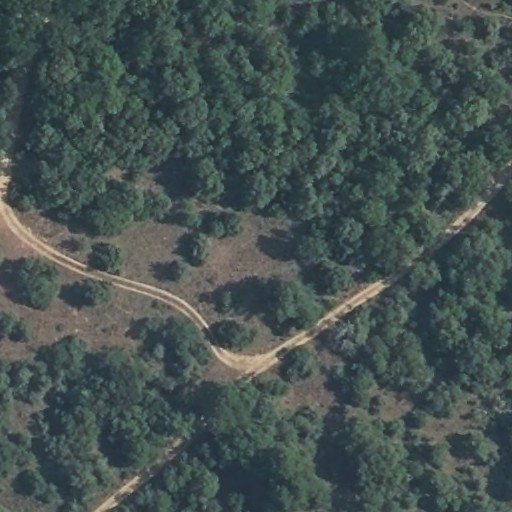
This aerial view captures a densely forested landscape bisected by unpaved roads. The upper half and right portion of the frame are dominated by continuous tree canopy with dark green, textured foliage. A winding, light tan dirt road enters from the left edge, curves through the center, and exits toward the upper right quadrant, forming a Y-shaped junction with a second road running diagonally from lower left to upper right. Between these roads lies a cleared area of brownish, sparsely vegetated ground measuring roughly one-third of the image width, containing between 8 and 12 scattered individual trees or small clusters. The road surfaces show visible tire tracks and irregular width variation between 3 and 6 meters. No structures, vehicles, or water bodies are discernible. Shadows cast by trees in the upper left quadrant suggest illumination from the southeast. The image concludes at the lower edge with an unbroken section of forest canopy.
|
15
|
AA-S1-32__D004-2021_AERIAL_RGBI_AA-S1-32_1-9
|
|
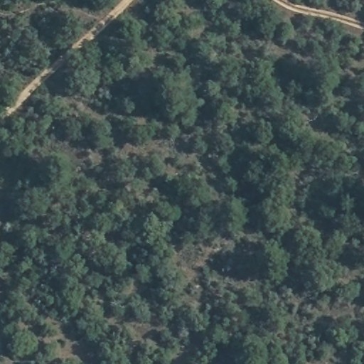
This aerial view captures a densely forested landscape dominated by irregular clusters of medium to dark green tree canopies with varying textures suggesting mixed vegetation density. Two linear, light tan features consistent with unpaved roads traverse the upper left and upper right quadrants, each approximately 3 to 5 meters wide with visible parallel track patterns; the left road extends diagonally from the upper edge toward the center, while the right road runs horizontally along the upper edge. Between 15 and 25 small, lighter-toned clearings or gaps in vegetation are scattered throughout, ranging from roughly 5 to 20 meters in diameter. No buildings, vehicles, or water bodies are clearly resolved. The overall canopy shows patchy variations in tone, with some areas appearing as darker green indicating denser cover, interspersed with brownish understory visible in thinner sections. Shadows cast by taller vegetation suggest illumination from the upper left, creating depth variations across the terrain.
|
16
|
AA-S1-32__D004-2021_AERIAL_RGBI_AA-S1-32_2-1
|
|
A uniform expanse of arid terrain dominates the frame, characterized by muted brown and tan surface tones with subtle textural variations. A prominent linear feature, consistent with a road or track, traverses diagonally from the lower-left quadrant toward the upper-right quadrant, exhibiting a lighter tone than the surrounding ground. Scattered dark patches, between 4 and 6 in number and measuring approximately 2 to 5 meters in diameter, appear irregularly distributed across all quadrants, possibly representing sparse vegetation or surface moisture depressions. Faint parallel striations in the upper-left quadrant suggest wind erosion patterns or dried water channels. No structures, vehicles, or distinct human activity indicators are visible. The image resolution precludes definitive identification of surface material composition.
|
17
|
AA-S1-32__D004-2021_AERIAL_RGBI_AA-S1-32_2-10
|
|
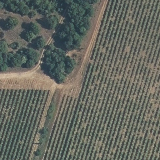
The image depicts an agricultural landscape divided into distinct land use zones. In the upper left quadrant, a dense cluster of trees with dark green canopies covers approximately one-quarter of the scene, bordered by a curved dirt road approximately 3-4 meters wide that separates this wooded area from adjacent fields. Three rectangular agricultural fields dominate the remaining area: one in the lower left quadrant and two larger fields in the right half, all containing parallel rows of crops spaced approximately 2-3 meters apart, with vegetation appearing as muted green-gray linear patterns against brown soil. A straight dirt road, roughly 4-5 meters wide, runs vertically through the center-right portion, intersecting with a horizontal road at the center of the image to form a T-junction. Narrow vegetated strips, possibly irrigation channels or field boundaries, appear between some field sections, visible as slightly darker linear features. The overall color palette consists of earthy browns, muted greens, and gray tones, consistent with dry-season or semi-arid agricultural conditions. No buildings, vehicles, or human figures are clearly visible at this resolution.
|
18
|
AA-S1-32__D004-2021_AERIAL_RGBI_AA-S1-32_2-11
|
|
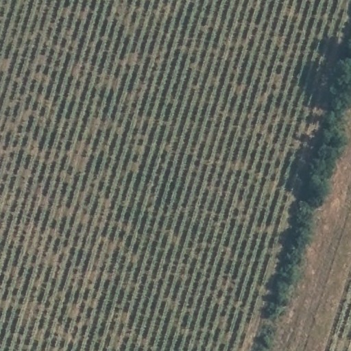
The image depicts an agricultural field occupying the majority of the frame, characterized by parallel rows of vegetation running diagonally from the upper left to lower right quadrants. The rows display alternating tones of green and brown, with the green vegetation appearing as narrow, linear strips approximately 1–2 meters in width, separated by wider brown inter-row spaces of roughly 2–3 meters. In the rightmost quadrant, a linear band of denser, darker green vegetation—possibly a windbreak or riparian buffer—runs parallel to the field edge, casting shadows indicating illumination from the upper left. Adjacent to this vegetated strip, in the extreme right quadrant, lies a narrow, lighter-toned linear feature consistent with an unpaved access road or field boundary, exhibiting a smooth, compacted surface texture. No structures, vehicles, or human figures are visible within the image extent. The overall scene suggests a large-scale monoculture planting, with row lengths exceeding several hundred meters based on the visible pattern repetition.
|
19
|
AA-S1-32__D004-2021_AERIAL_RGBI_AA-S1-32_2-12
|
|
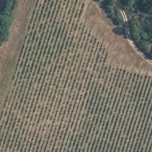
An aerial view captures an agricultural field dominated by parallel rows of crops extending across the majority of the frame, with vegetation appearing in alternating green and brown tones suggesting varied growth stages or soil exposure. In the upper right quadrant, a curved dirt road with a light-colored surface borders the field, running adjacent to a dense patch of trees with dark green canopy cover. The upper left corner contains a smaller cluster of trees, while the field's edge along the road shows a transition zone of brown, possibly harvested or fallow ground approximately 10 to 15 meters wide. The crop rows maintain consistent spacing throughout, with subtle variations in row alignment visible in the central portion where two field sections meet at a slight angle. No buildings, vehicles, or irrigation infrastructure are clearly distinguishable at this resolution. The image terminates at the lower edge with the continuation of crop rows beyond the frame boundary.
|
20
|
AA-S1-32__D004-2021_AERIAL_RGBI_AA-S1-32_2-13
|
|
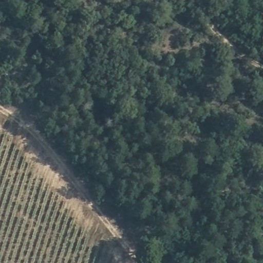
The image depicts an aerial view of a landscape divided between cultivated agricultural land and dense forest. In the first and second quadrants, a rectangular agricultural field displays parallel rows of crops or planted vegetation, oriented diagonally from lower left to upper right, with light brown soil visible between rows. A narrow, unpaved access road runs perpendicular to the field's edge, separating it from the forested area occupying the third and fourth quadrants. The forest consists of continuous tree canopy with dark green tones, irregular texture, and scattered small clearings. A faint, winding path is visible in the upper right quadrant, cutting through the forested area. No structures, vehicles, or water bodies are identifiable.
|
21
|
AA-S1-32__D004-2021_AERIAL_RGBI_AA-S1-32_2-14
|
|
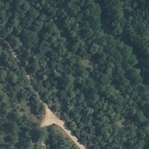
A dense forest canopy dominates the scene, interrupted by a light-toned linear feature running from the lower left quadrant toward the upper left, consistent with an unpaved road or trail. This feature branches near the lower left, forming a Y-shaped junction with one segment extending southward and another continuing northwest. The road surface appears tan to light brown, with widths ranging from approximately 3 to 6 meters. Scattered small clearings, roughly 10 to 20 meters across, appear as slightly lighter patches within the forest, particularly in the upper right quadrant. The forest canopy shows uniform dark green tones with subtle textural variations suggesting mixed vegetation heights. No structures, vehicles, or water bodies are clearly distinguishable at this resolution. The road's edges appear irregular, with vegetation encroachment visible along portions of its length. Shadows cast by canopy elements indicate illumination from the upper right, creating dark linear patterns throughout the forest texture. A faint secondary path, possibly a foot trail, parallels the main road at approximately 50 meters distance in the left-central portion of the image. The overall scene lacks visible human activity or maintained infrastructure beyond the road network. The branching road junction shows evidence of surface disturbance, with exposed soil visible at the intersection point. Small gaps in the canopy, 2 to 5 meters across, are distributed throughout but do not form discernible patterns. The image captures a remote, forested landscape with minimal anthropogenic modification. The road's northwestern segment narrows gradually, becoming less distinct as it approaches the upper image edge. Canopy texture in the lower right quadrant appears slightly more uniform, with reduced shadow complexity suggesting flatter terrain or more homogeneous tree heights. No fences, power lines, or other linear infrastructure are visible. The scene ends at the upper and right edges with uninterrupted forest cover, showing no boundary features or land-use transitions. The road surface contains occasional lighter patches, possibly indicating gravel deposits or erosion patterns 3 to 8 meters in length. Overall, the image depicts a forested area with a single branching unpaved road as the primary visible human feature.
|
22
|
AA-S1-32__D004-2021_AERIAL_RGBI_AA-S1-32_2-15
|
|
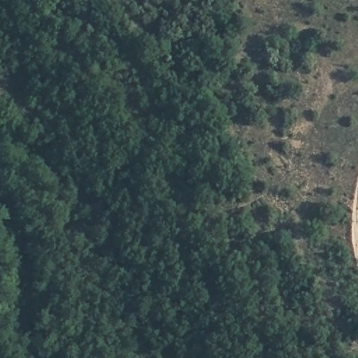
Aerial view of a forested landscape with dense tree cover occupying the left two-thirds of the frame, transitioning to sparser vegetation and exposed soil in the right third; a narrow, light-toned linear feature, possibly a road or trail, curves along the lower right edge, with scattered small clearings and shadow patterns indicating variable canopy height throughout.
|
23
|
AA-S1-32__D004-2021_AERIAL_RGBI_AA-S1-32_2-2
|
|
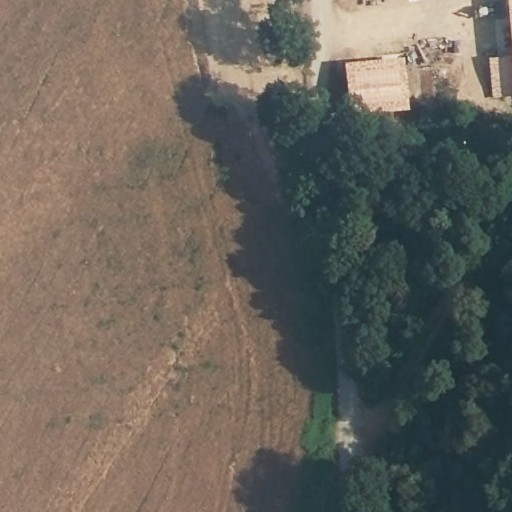
This aerial view captures a rural landscape divided between agricultural land and vegetated settlement. The left half of the frame consists of brown, textured agricultural fields with faint linear patterns suggesting cultivation. Along the right edge, a dense cluster of dark green trees occupies the lower right quadrant, extending upward along the right margin. In the upper right quadrant, between 2 and 4 rectangular structures with light brown, possibly tiled roofs are visible, surrounded by cleared earth and scattered materials. A narrow, lighter-toned linear feature, possibly a road or path, runs parallel to the tree line, separating the fields from the built area. Shadows cast by trees fall westward across the scene, indicating illumination from the east. A small, bright green rectangular patch appears at the field-forest boundary in the lower center.
|
24
|
AA-S1-32__D004-2021_AERIAL_RGBI_AA-S1-32_2-3
|
|
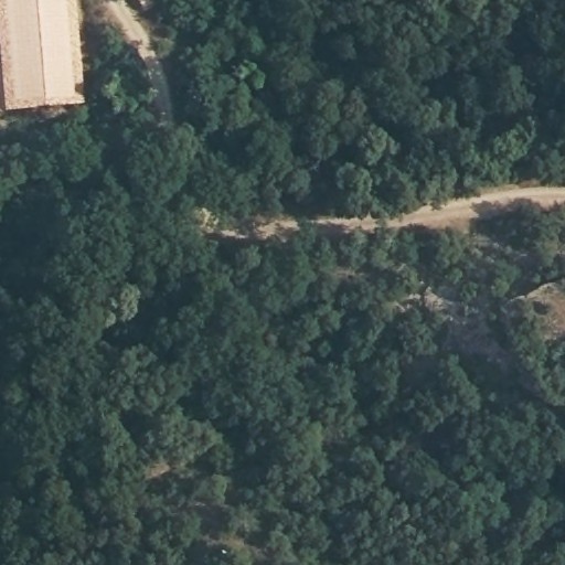
A dense forest canopy dominates the scene, interrupted by a light-toned linear clearing running horizontally across the upper right quadrant, consistent with a dirt road or trail approximately 5 to 8 meters wide. In the upper left corner, a rectangular structure with a pale, possibly metal roof extends partially into the frame, measuring roughly 20 by 40 meters. Adjacent to this structure, a narrow dark linear feature, possibly a paved path or water channel, descends diagonally toward the center. Scattered small clearings and variations in canopy texture appear throughout, with one lighter patch in the lower right quadrant suggesting exposed soil or sparse vegetation. Shadows cast by terrain relief indicate moderate topographic variation across the forested area.
|
25
|
AA-S1-32__D004-2021_AERIAL_RGBI_AA-S1-32_2-4
|
|
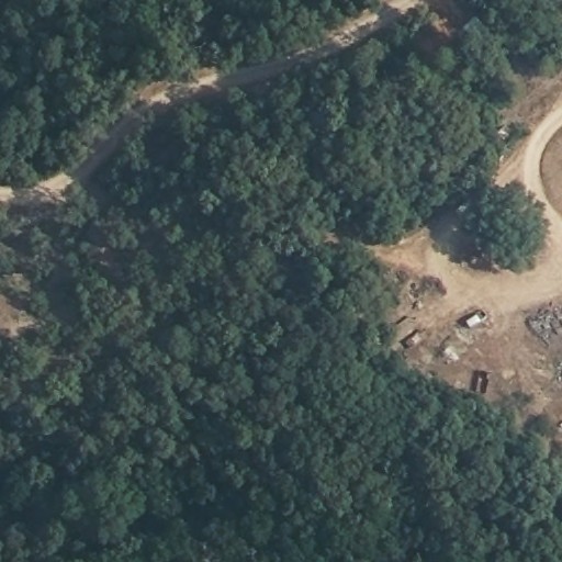
Aerial view of a forested area with dense green tree canopy covering most of the frame, intersected by light brown unpaved roads in the upper left and right portions; a cleared area in the right quadrant contains 3 to 4 small rectangular structures with light and dark roofs, scattered debris, and bare earth with tire tracks, while the surrounding vegetation shows varying shades of green with textured crown patterns.
|
26
|
AA-S1-32__D004-2021_AERIAL_RGBI_AA-S1-32_2-5
|
|
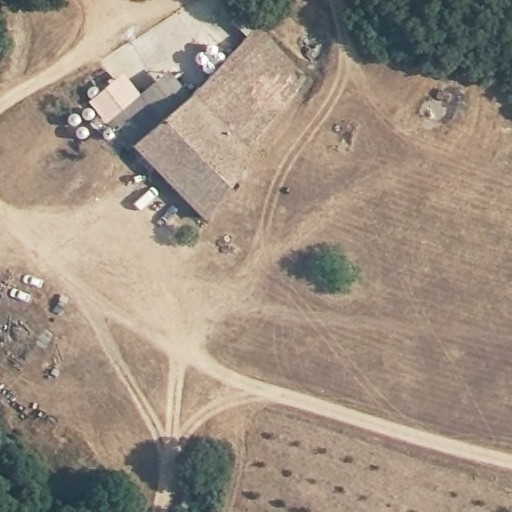
An aerial view captures a rural agricultural complex surrounded by dry, brown fields. In the upper left quadrant, a cluster of buildings includes a long rectangular structure with a gray roof, approximately 30 meters in length, oriented northwest-southeast, adjacent to smaller rectangular outbuildings with lighter-colored roofs. Between 6 and 8 circular white storage tanks, each roughly 2 to 3 meters in diameter, are arranged in two groups near the buildings. A network of unpaved roads, ranging from 3 to 5 meters in width, intersects in the lower left quadrant and extends toward the right edge of the image. In the lower left quadrant, between 3 and 5 vehicles, appearing as small light-colored rectangles, are parked near scattered equipment and debris. A single green tree, approximately 8 to 10 meters in canopy diameter, stands isolated in the center-right quadrant. Dense green forest borders the upper and lower edges of the scene. Dark linear markings, possibly tire tracks or shallow furrows, pattern the fields throughout the right half of the image. Two small dark objects, possibly animals or equipment, are visible near the main building complex. A small circular structure, possibly a well or silo base, appears in the upper right quadrant.
|
27
|
AA-S1-32__D004-2021_AERIAL_RGBI_AA-S1-32_2-6
|
|
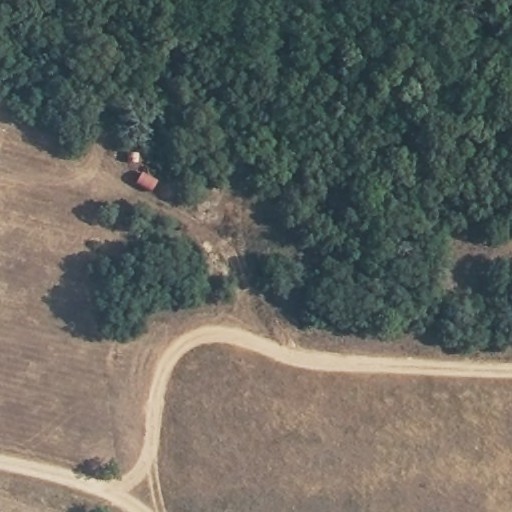
An aerial view captures a landscape divided between dense forest canopy and cleared agricultural land. The upper right and center-left quadrants contain continuous dark green tree cover with irregular edges. The lower left and bottom quadrants show brown, textured fields with visible row patterns consistent with cultivation. A curved, light-colored unpaved road runs horizontally across the lower third, with a Y-shaped junction in the lower left quadrant. Adjacent to the forest edge in the upper left quadrant, two small rectangular structures with reddish-brown roofs are visible, each approximately 3 to 5 meters in length, connected by a narrow cleared path. A small cluster of trees interrupts the field in the center-left, casting rounded shadows. The boundary between forest and field forms an irregular, indented line with multiple small inlets of vegetation extending into the cleared area. The road surface shows faint parallel tracks suggesting vehicle passage. No water bodies or additional infrastructure are clearly distinguishable.
|
28
|
AA-S1-32__D004-2021_AERIAL_RGBI_AA-S1-32_2-7
|
|
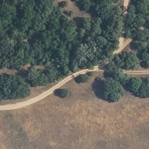
A curved dirt road traverses the lower left to upper right quadrants, bordered by dense green forest in the upper half and dry brown grassland in the lower half. The road, approximately 3 to 4 meters wide with visible light-colored surface material, forms a gentle S-curve with a secondary branch extending northeast in the upper right quadrant. Two to three small circular vegetation clusters, possibly shrubs or young trees, appear adjacent to the road's inner curve in the lower right quadrant. The forest canopy displays varying green tones with irregular edges where it meets the grassland. A narrow linear clearing, possibly a firebreak or secondary path, runs parallel to the main road in the upper right quadrant, separated by 15 to 20 meters of tree cover. The grassland exhibits patchy texture with scattered darker spots consistent with shadows or low vegetation. No structures, vehicles, or water bodies are visible at this resolution.
|
29
|
AA-S1-32__D004-2021_AERIAL_RGBI_AA-S1-32_2-8
|
|
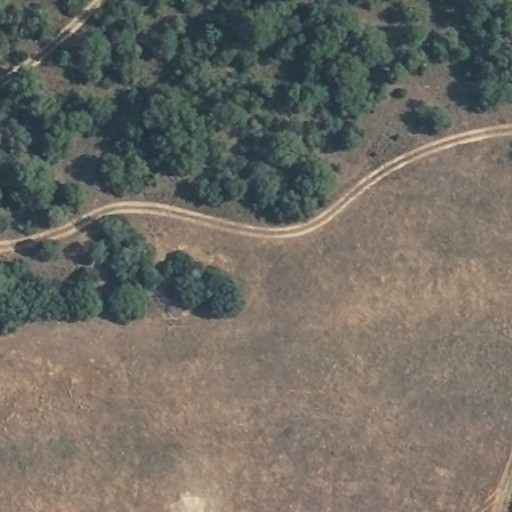
A curved dirt road runs horizontally across the upper half of the image, separating dense green forest in the upper left quadrant from dry brown grassland occupying the lower right. The forest contains approximately 50 to 80 distinct tree crowns with irregular shapes and varying shades of green. The road appears as a light tan linear feature approximately 3 to 4 meters wide with visible parallel track marks. In the lower left quadrant, a small cluster of 5 to 7 trees extends into the grassland, creating a rounded protrusion of vegetation. The grassland surface shows subtle textural variations and scattered darker patches consistent with sparse low vegetation or shadowing. A faint linear feature, possibly a secondary path or fence line, is visible in the extreme lower right corner.
|
30
|
AA-S1-32__D004-2021_AERIAL_RGBI_AA-S1-32_2-9
|
|
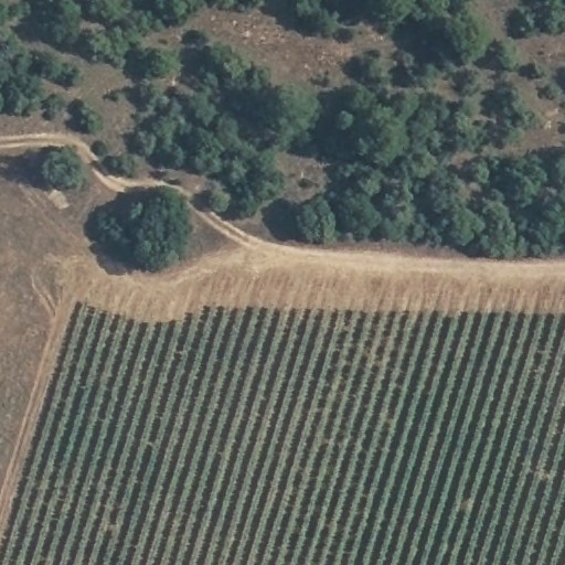
This aerial image captures a rural landscape dominated by agricultural and forested land cover. The lower half of the frame contains a large rectangular field with approximately 25 to 30 parallel linear crop rows running diagonally from lower left to upper right, displaying alternating dark green vegetation and lighter brown soil tones. A narrow dirt road with visible tire tracks forms a curved boundary between this cultivated area and an upper zone of denser vegetation. The upper half and upper right quadrant contain irregular clusters of rounded tree canopies in dark to medium green, interspersed with patches of brown exposed soil. A secondary dirt path branches from the main road into the upper left quadrant, terminating near a small lighter-toned rectangular feature possibly consistent with a structure or cleared area. The boundary between field and forest shows a distinct color transition from uniform row patterns to irregular natural textures. The image concludes at its lower edge with the continuation of crop rows beyond the visible frame.
|
31
|
AA-S1-32__D004-2021_AERIAL_RGBI_AA-S1-32_3-1
|
|
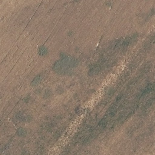
This aerial view captures an agricultural field dominated by brown, tilled soil with subtle linear furrows running diagonally from upper left to lower right. Scattered across the upper left and central quadrants are between 8 and 12 irregular dark green patches, each approximately 3 to 8 meters in diameter, consistent with vegetation clusters or tree canopies. A prominent light-toned linear feature, possibly a dirt road or dried watercourse, extends from the lower left toward the upper right quadrant, measuring roughly 15 to 20 meters in width with uneven, mottled texture. Adjacent to and parallel with this feature on its southeastern side is a darker green linear zone, between 10 and 15 meters wide, suggesting denser vegetation or a riparian corridor. No structures, vehicles, or human activity are visible. The overall scene exhibits dry soil conditions with minimal active crop growth.
|
32
|
AA-S1-32__D004-2021_AERIAL_RGBI_AA-S1-32_3-10
|
|
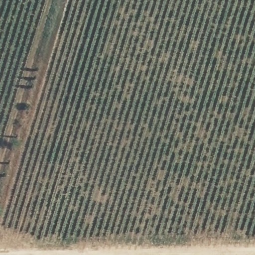
This aerial image depicts a large-scale agricultural plantation dominated by parallel rows of cultivated vegetation extending across the frame from upper left to lower right. The upper left quadrant contains a narrow linear access road with visible tire tracks and between 4 and 6 dark rectangular objects, possibly vehicles or equipment, positioned along its edge. The vegetation rows appear as alternating dark green and brown linear strips, approximately 1 to 2 meters apart, with the green strips indicating denser plant growth and the brown strips showing exposed soil or mulch. The lower edge of the image shows a lighter-toned boundary, possibly a dirt road or field margin, running perpendicular to the crop rows. The overall pattern suggests a mechanically planted and maintained orchard or vineyard system with consistent geometric spacing throughout the visible extent. The image resolution permits identification of individual row structures but not specific plant species or leaf-level detail.
|